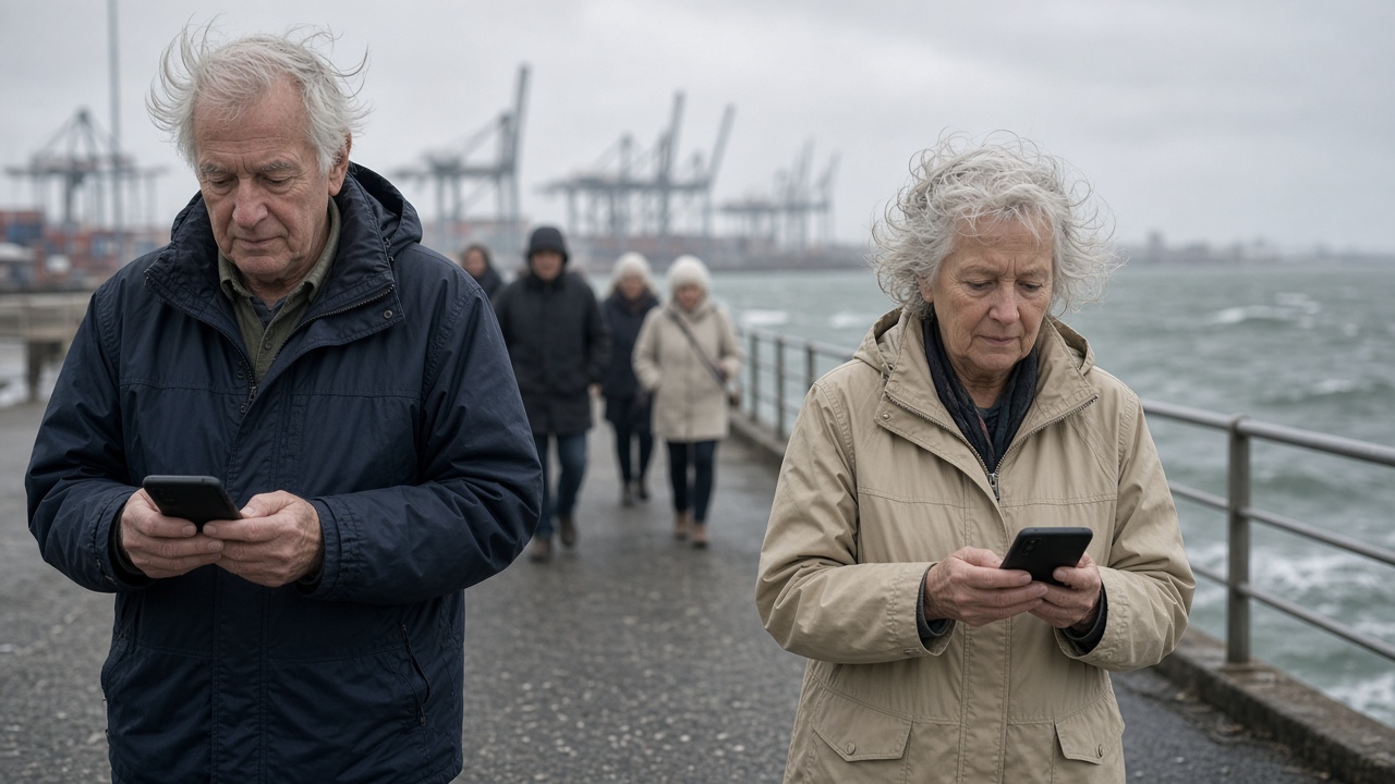
Regular walkers on Yokohama’s harbor piers told InfoHandle they now keep community radio apps open during typhoon season, after September’s near-miss flooded mobile networks when thousands checked Japan Meteorological Agency tracks at once. Ward disaster offices partnered with low-power FM stations to push audio advisories and pinned shelter stair maps inside the same interfaces seniors already use for shopping broadcasts.
Harbor routine under storm watches
Morning groups who lap Yamashita Pier and Osanbashi break early when JMA enters the 50-kilometer wind-radius timeline, but they still want granular updates while stretching at home. Cellular lag during Typhoon No. 15’s approach left them staring at spinning weather icons; FM feeds continued on wired broadband radios and app simulcasts with lighter bandwidth.
Yokohama City’s disaster prevention portal lists multilingual shelter locations; the new app layer adds pier-specific closures—gangways chained when gusts top 20 meters per second—and reminders that elevated walkways can ice with spray even when rain looks light.
Community radio fit
Internal Affairs Ministry community broadcasting guidelines encourage local stations to simulcast emergency information; Yokohama wards piggyback on existing shopping-hour shows with volunteer announcers who read JMA bulletins every thirty minutes during warnings. Apps cache the last three audio segments offline for users whose data plans throttle after video-heavy social feeds.
Fishing clubs share pins for restroom and AED locations along the waterfront, data merged from municipal open datasets. Retirees said spoken updates beat tiny typhoon cone graphics on phone screens; younger members still screenshot JMA maps but trust the radio tone for “should I cancel today’s walk?”
Limits and etiquette
Apps are supplements, not replacements for official JMA warnings and municipal evacuation orders. Walkers should register for Yokohama’s push alerts separately and carry power banks—pier winds drain batteries filming waves. Photography during warnings can block egress; stewards ask groups to leave tripods at home when gangways narrow.
When storms pass, the same apps revert to festival traffic and cruise-ship schedules, keeping install bases year-round instead of seasonal uninstalls. City officials plan October drills at pier shelters to test whether radio listeners actually know which stairs lead to reinforced halls versus scenic overlooks that close first.
Broader lesson
Waterfront cities nationally face the same cellular surge problem; Yokohama’s blend of FM audio and lightweight maps is a template for Kobe and Hakodate groups watching this pilot. Readers elsewhere in Japan can search municipal pages for “community broadcasting” links even if their ward lacks a pier—shopping radio networks often carry identical typhoon scripts once JMA warning codes change.
Silver Week on the waterfront
Cruise turnarounds and festival food stalls will swell pier crowds during the September holiday even without a typhoon landfall; radio apps add queue warnings when ships delay departures and walkers pack umbrellas early. Harbor police ask groups to keep one earbud out when listening so shouted closure orders remain audible—small etiquette shifts that retirees say prevent the confusion that sent hundreds to dead-end gates during the last storm watch.