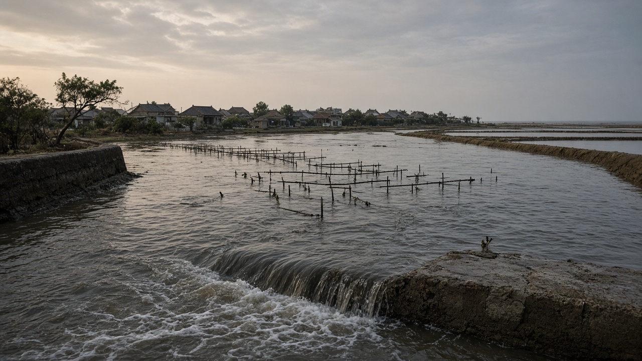
The Central Weather Administration's Sep. 26 bulletin keeps an astronomical high-tide warning in place through Sep. 30 for low-lying stretches of Taiwan's western coast, naming Penghu and Changhua among the areas to watch. The same advisory carries daytime highs of 33 to 36 degrees Celsius across the island, and it follows Shuleki as the storm turns north.
The term is narrower than it sounds. An astronomical high tide is the tide that lunar and solar forcing alone would produce. It is a prediction derived from harmonic analysis of tide-gauge records, not a statement that water will cross a seawall.
Astronomical tides run largest near new and full moons, when the sun's and the moon's tidal pulls line up. This window opens just after this year's Mid-Autumn full moon, which the Taipei Astronomical Museum marked with a Sep. 25-28 program series at its dome theater. That the calendar favors higher high water does not fix how much higher: local bathymetry, harbor geometry and the shape of a tidal flat decide what a moon-driven peak looks like at a specific outfall.
The advisory, and what it does not say
The bulletin does not assert that flooding will happen. It flags a raised baseline — the level that rainfall, storm surge and river discharge then get added to. A tide that passes unnoticed in dry weather can overtop a drainage outfall when a storm sits offshore and a river is running high. Shuleki's northward turn removes part of that pressure. It does not remove all of it, because sea state and swell arrive ahead of a track.
Why the western lowlands are the exposed flank
Changhua's coastal townships sit on soft ground that has been sinking for decades under groundwater pumping for aquaculture, and much of the shoreline is given to ponds, salt pans and tidal flats rather than cliffs. Penghu has a different problem: a small landmass with limited surface water, where coastal wells and desalination carry the supply.
Saltwater intrusion moves through the same channels as drainage, in reverse. Sustained high water can push saline water up through outfalls and irrigation intakes, into shallow aquifers where pumping has drawn the water table down, and onto soils behind the first line of defense. Salt in a field is harder to remove than salt on pavement. A single tide rarely ruins a season, but repeated exposure in one autumn accumulates.
What a tide forecast actually measures
Taiwan's tide predictions, like others, are assembled from harmonic constituents — the M2 lunar semi-diurnal and S2 solar semi-diurnal cycles among the largest — fitted to years of gauge records tied to fixed datums. Surge forecasts are a separate product, generated by numerical models that need a storm's track, intensity and radius of maximum winds as inputs.
The limits are structural. Gauges are points; between them, a model interpolates across a shallow shelf with complex geometry, and the interpolation is where error lives. Track forecasts beyond a few days carry spread that translates directly into surge spread. River discharge and rainfall are not tide terms at all, though they decide whether a high tide becomes a drainage problem or a field problem. And a bulletin that names Penghu and Changhua is a geographic flag, not a per-town projection.
The questions a lab would ask
Replicating this at Academia Sinica's Research Center for Environmental Changes, or a coastal engineering group at NCKU or NYCU, would start with the inputs rather than the headline: how many years of record back the harmonic fit, how the gauge datums were tied to land benchmarks, what horizontal resolution the model uses over the Taiwan Strait shelf, and how the Sep. 26-30 window validates against observed high-water marks once it has passed.
The soil and water question needs a sample. Who measured salinity in the wells and drains — at what depth, over how many sites, at what interval? Without that, the intrusion mechanism is expected physics rather than a measured event. A salt-pan or aquaculture operator on the Changhua coast runs a version of that measurement daily, and refractometer readings from a pond edge are data no tide table contains.
What the advisory supports is a watch through Sep. 30: drainage gates and pumps checked, aquaculture intakes watched, low-lying roads treated as low-lying roads at the evening high water. What it does not support is a claim that the coast will flood. That depends on how much rain falls, how the storm behaves offshore, and how well the drainage system was maintained before this week.