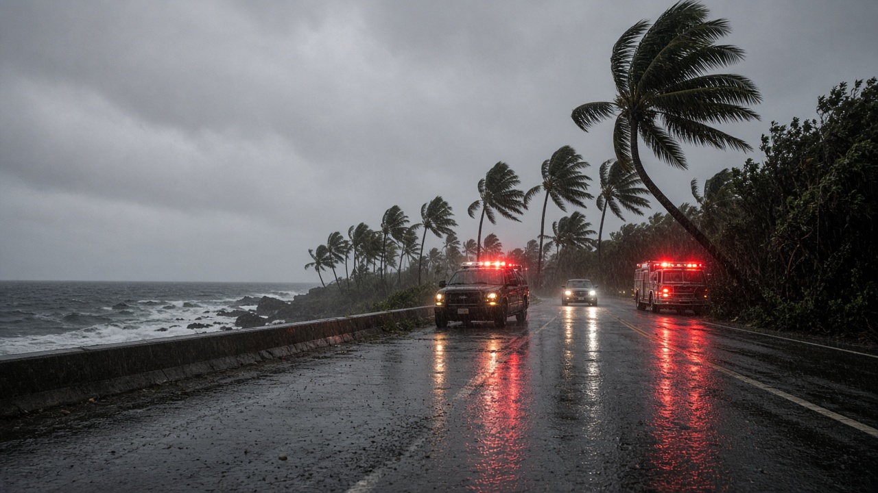
Hurricane Nolo was crawling north at just a few miles per hour on Saturday with maximum sustained winds near 105 mph, its center roughly 145 miles south of South Point on Hawaii Island, even as federal teams moved under a pre-landfall emergency declaration approved by President Donald Trump on Friday.
Gov. Josh Green had requested the Presidential Emergency Declaration ahead of the storm, and the Federal Emergency Management Agency said the order unlocks federal money and personnel for Hawaii County, Maui County, Kauai County and the City and County of Honolulu. Assistance covers emergency protective measures under FEMA’s Public Assistance program at a 75 percent federal cost share, including generators, swift-water rescue teams and debris clearance along flood-prone highways.
Big Island in the crosshairs again
The Central Pacific Hurricane Center said Nolo was expected to turn west on Saturday, passing farther south of the smaller islands than earlier tracks suggested, but outer rain bands were already brushing Hawaii Island overnight. Acting Hawaii County Civil Defense administrator Darryl Oliveira told the Honolulu Star-Advertiser that a slower turn could spread heavier impacts across the island.
Forecasters warned that isolated rainfall totals on the Big Island could still reach 16 inches in the hardest-hit pockets, down from earlier estimates above 30 inches but enough to test drainage systems that Hurricane Lala overwhelmed on Aug. 15. Lala killed two people in Naalehu flooding and damaged hundreds of homes in Kau district, leaving crews racing this week to clear streams and reinforce roadways before Nolo arrived.
The National Weather Service in Honolulu maintained a hurricane watch and tropical storm warning for Hawaii Island, a tropical storm watch for Maui County, flood watches for the Big Island and Maui, and wind advisories for Oahu and Kauai with gusts up to 55 mph through Sunday evening. High surf advisories covered east-facing shores, and officials warned that storm surge combined with high tide could push water into normally dry coastal blocks, including Hilo Bayfront.
Shelters, ports and a longer season
County officials opened additional shelters on Friday evening after only 18 people used four sites the night before, a sign Oliveira said reflected sunny weather that masked the approaching threat. Hawaii Island ports entered Condition Zulu, suspending vessel movements to keep ships from breaking loose in the harbor, and airlines canceled some Hilo flights to avoid overnighting aircraft in the storm’s path.
State transportation director Ed Sniffen said crews had cleared culverts and reinforced a stretch of Highway 11 near Pahala that Lala eroded by about 15 feet, but he still anticipated 12 to 20 inches of rain in vulnerable mauka zones and possible two-foot inundation along southern Route 11. FEMA’s authorization also covers disaster mortuary support tied to ongoing Lala recovery at Naalehu Cemetery, underscoring how back-to-back cyclones are stacking demands on the same communities.
Meteorologist John Bravender noted that Nolo could strengthen into a major hurricane well south of the state before recurving northwest early next week, and that El Niño conditions may extend tropical activity into late autumn. Nolo is only the seventh named cyclone of the 2026 central Pacific season, yet officials said its pairing with Lala has already made this year more consequential for Hawaii than the record-busy 2015 season, when many storms stayed offshore.
Residents were urged to finalize evacuation plans before roads flood and to treat official forecasts as authoritative even when skies remain clear. Oliveira’s message to Naalehu and other Kau communities was blunt: prepare for the worst, decide early, and use county shuttle service if local flooding returns.