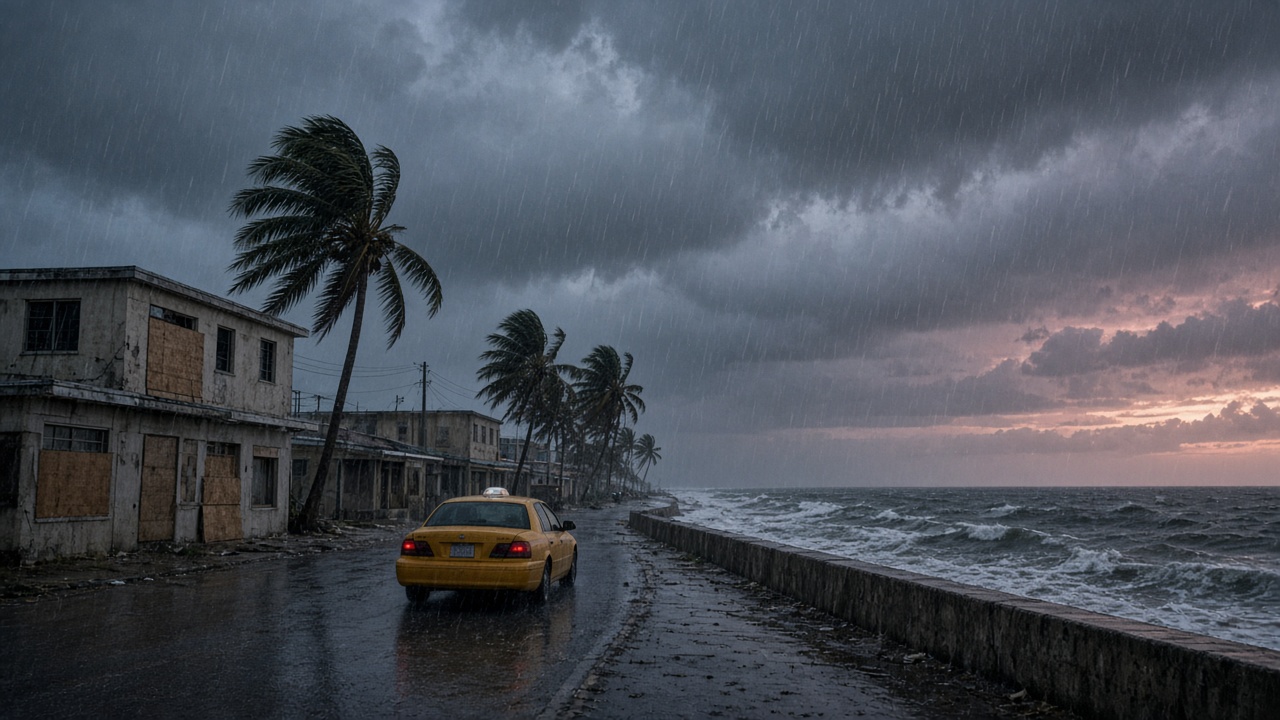
Potential Tropical Cyclone Nine is still a loose cluster of thunderstorms east of the Bahamas, but the National Hurricane Center expects it to organize into a tropical storm — likely named Imelda — as it tracks toward the islands and then the southeastern United States. Watches are up for parts of the Bahamas, and forecasters are flagging early-week risk from Florida up through the Carolinas. Humberto, meanwhile, is still spinning in the Atlantic to the east. The two systems are close enough to tug at each other, and that interaction is why this forecast keeps sliding east and west from one advisory to the next.
What the timing looks like
The Bahamas sit closest to the system's path, with the worst of the weather arriving from Sunday into Monday: heavy rain, gusty squalls, rough surf and rip currents along exposed beaches. Inter-island ferries and small-craft operators typically pull back first, and short-hop flights into the Out Islands are usually the earliest cancellations.
The U.S. side of the equation is a Monday-through-Wednesday problem. Coastal Georgia and the Carolinas, along with Florida's Atlantic coast, face the likeliest window for tropical-storm-force wind, bands of heavy rain and minor coastal flooding at high tide. Even a system that stays offshore can shut down afternoon departures at Orlando, Jacksonville, Savannah and Charleston through sheer volume of rain and wind.
Fujiwhara, or why the cone is wide
When two tropical cyclones wander within a few hundred miles of each other, they begin to orbit a shared center instead of tracking independently. Meteorologists call it the Fujiwhara effect, and it is the reason this particular forecast has stayed unusually fat. Humberto can weaken, shove, or partially absorb the newer system — and each of those outcomes bends the track tens or hundreds of miles.
Practically, that means one model run is not a plan. A Tuesday-morning flight decision can look very different from a Friday one, and the differences tend to resolve late rather than early.
Flights: waivers, credits and the cost of waiting
Airlines generally publish a travel waiver once a major airport lands inside the forecast cone. The waiver typically removes the change fee and lets you rebook into a window of a few days on either side — but the fare difference often still applies, and basic-economy tickets remain the most restricted. If you cancel instead, expect the value to come back as a credit tied to your name and an expiration date, not a refund, unless the airline cancels the flight outright.
The expensive move is waiting. Seats on the front end of a rebooking window fill fast, last-minute fares climb, and airport hotels along the coast sell out to crews and displaced passengers before they sell out to you. If your dates are soft, shift them now rather than at the gate. Keep the confirmation emails and screenshots; if a flight is cancelled and you are rebooked involuntarily, that documentation is what supports a refund claim later.
Cruises bend around the storm
Cruise lines rarely cancel a sailing for a storm this size; they reroute it. Bahamas and eastern Caribbean calls are the first to be swapped, usually for western Caribbean ports or an extra sea day, and itineraries can be rewritten two or three times before embarkation. A port that disappears from your itinerary is not the same as a refund — most contracts cover a substitute port, not a cash credit.
What you can control: watch your line's travel-advisory page rather than the forecast map, confirm whether your embarkation port is still the one on your documents, and check the cancellation window for any pre-cruise hotel. If you bought travel insurance, note that most policies stop covering a named storm once it has a name.
If you are traveling Sunday through Wednesday
Turn on push alerts in your airline and cruise apps, not just email. Screenshot your bookings and your travel insurance policy number. If you are driving into a coastal airport, build in an extra hour for standing water on the approach roads. And if the trip is discretionary, the honest math is this: a credit you use in November usually costs less than a rebooking fee, a night in an airport hotel and a missed connection in the middle of a rain band.
Late September on the Southeast coast is a place under a condition — warm water, humid air, and a forecast that shifts while you are standing in the security line. The system will resolve in a few days. Your reservations do not have to resolve with it.