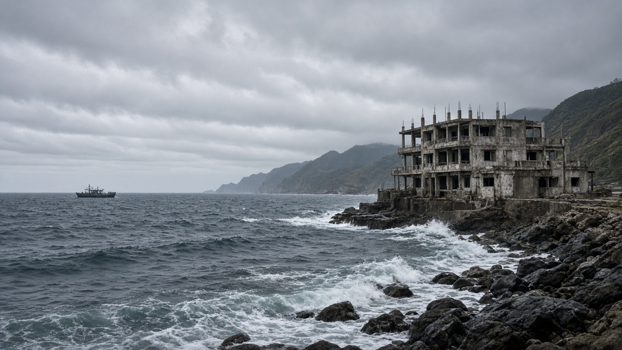
TAIPEI — Severe Tropical Storm Queenie, known internationally as Surigae, held severe tropical storm strength on Saturday as it tracked north-northeast over waters east of Taiwan, keeping the possibility of typhoon intensity on the table before it leaves the Philippine Area of Responsibility.
The storm's Saturday position and forecast track kept the main risk offshore: rough seas and building swells along Taiwan's east coast, where holiday traffic and outdoor plans are already elevated. The Central Weather Administration's county forecast index remains the authoritative local check for wind, rain and coastal conditions as the weekend develops.
Where the storm is and where it is going
Queenie was moving north-northeast, according to the latest forecast summaries, a path that keeps the center east of Taiwan rather than crossing the island. Forecasters said the system could still reach typhoon strength before exiting the Philippine Area of Responsibility on Sunday. That timing matters less for a Taiwan landfall than for the marine zone between the Philippines, Taiwan and the Ryukyu Islands, where swells can arrive well ahead of the storm center.
The international name Surigae is used by regional meteorological agencies. In Taiwan, the Central Weather Administration issues the warnings and forecasts that local governments, ferry operators and coastal authorities use to decide whether to restrict access to beaches, ports and mountain roads.
On the ground, the practical decisions sit with several agencies. The CWA updates the forecast; local governments can close beaches, trails or river areas; the Coast Guard Administration enforces maritime access restrictions; and ferry operators decide whether crossings are safe. Travelers on the east coast should treat those notices as the operational layer beneath the forecast map.
East coast seas, holiday traffic
For Taiwan, the immediate concern is the water. Rough seas east of Taiwan can make small craft, fishing boats, recreational diving and ferry crossings hazardous even when the sky over land looks calm. Beaches from Yilan through Hualien and Taitung face the open ocean and are typically the first to feel long-period swells. Visitors should check with lifeguards and local authorities before entering the water, and boat operators are likely to adjust schedules if conditions deteriorate.
Holiday travel adds a second layer. The long weekend has put more cars on east-coast roads and more passengers on rail and ferry links. If rain bands or coastal spray reduce visibility, highway authorities may slow traffic or impose controls on exposed sections. Travelers should build in extra time and avoid cliffside or riverside stops during heavy rain.
What to watch next
The next meaningful update is whether Queenie reaches typhoon intensity and how far west the outer circulation extends. A slightly closer track would raise wave heights and bring more rain to northeastern and eastern Taiwan. A track farther east would leave Taiwan with mostly marine impacts. Either way, the weekend forecast is not a repeat of the earlier development watch: this is a named storm holding strength, with an active marine and travel story on the east coast.
CWA updates and local government notices should be checked before any coastal or mountain activity. The safest reading is simple: the storm is not forecast to hit Taiwan directly on Saturday, but the sea east of the island is already part of the story.