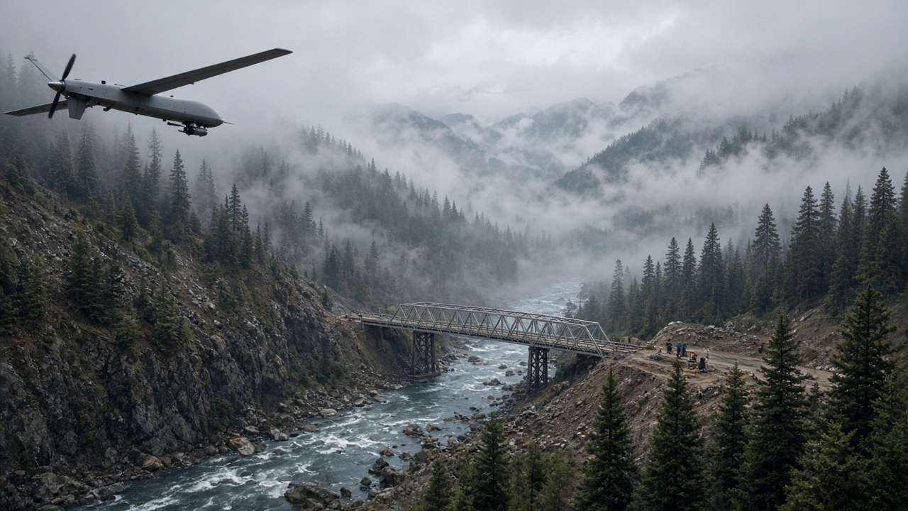
IIT Madras engineers released computer-vision assessments on Monday that rank cracked deck panels and undermined abutments along Mandakini valley access routes, giving Uttarakhand disaster managers a sequenced repair list days after army teams cleared cloudburst debris near Dharali.
From drone frames to repair tickets
The institute's team fed geotagged imagery from fixed-wing drones into models trained to detect spalling concrete, bent guardrails and washed-out embankments. Outputs arrive as colour-coded maps rather than anecdotal field notes, allowing the public works department to dispatch Bailey bridge components and cement batches to the worst segments first.
Defence Research and Development Organisation survey units had already flown corridors after the Indian Army deployed roughly 225 personnel for flash-flood rescue work reported over the weekend. Civilian and military feeds were fused only after commanders verified no operational security constraints on shared coordinates.
Why computer vision matters here
Manual inspections along the Mandakini take hours per kilometre because scree slopes remain unstable after September rain bursts. Models shorten that cycle by highlighting anomalies inspectors still must verify on foot, but do not replace structural engineers signing load certificates before convoys resume.
State disaster officials said computer outputs matched ground reports on three temporary spans that cannot take loaded fuel tankers until deck plates are replaced. Tourist buses bound for Gangotri remain on alternate routes via Rishikesh, extending travel times but avoiding fatal edge failures.
Coordination with relief convoys
Helpline operators use the same maps to tell pilgrims which stretches allow light vehicles versus walk-only paths. Telecom providers restored microwave backhaul Sunday, enabling models to refresh overnight when cloud cover breaks.
Non-government organisations shipping medical kits requested API access to the damage layers so drivers avoid single-lane sections where two trucks cannot pass. The institute said read-only portals will open for accredited agencies after redactions on army staging points.
Limits and human review
Computer-vision false positives remain possible where shadows mimic cracks, so civil engineers must sign each closure order. IIT Madras researchers emphasised that their work prioritises triage, not autonomous reopening decisions.
Monsoon forecasts showing renewed rain cells over Garhwal mean drones may not fly daily; ground LiDAR teams are on standby when ceilings drop below 500 feet.
Broader deployment questions
Officials in Dehradun asked whether similar pipelines should run permanently for Char Dham routes after consecutive extreme weather seasons. Funding conversations tie to the National Disaster Management Authority's capital budget rather than academic grants alone.
For residents upstream of the cloudburst zone, the near-term stake is simpler: knowing which bridge repairs happen before festival travel peaks, and which waits until steel deliveries climb the valley roads.