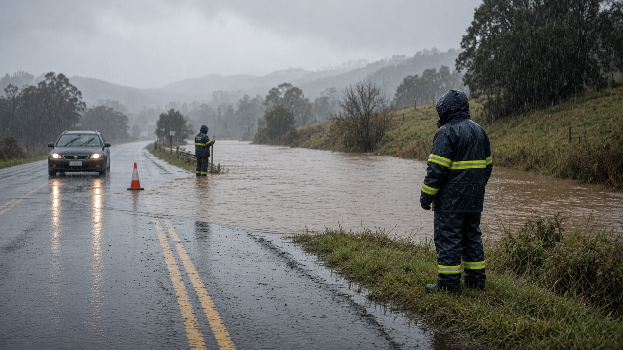
Victorian authorities urged campers to abandon low ground along the Otways coast on Friday, warning that a slow-moving low could dump up to 150 millimetres of rain in 24 hours and recreate flash-flooding scenes that sent cars toward the surf in January. The Bureau of Meteorology issued a severe weather warning for heavy rainfall across south-west, central and east Gippsland districts, while the State Emergency Service tallied six flood rescues and hundreds of storm jobs since Thursday's downpour over Melbourne.
Where the risk is building
The bureau said a lingering low over eastern Victoria would drive persistent south-easterly winds into Saturday, concentrating moisture on the Otway Ranges and Strzelecki foothills. Forecasters expect six-hour totals of 20 to 35 millimetres, with isolated bursts to 50 millimetres, and 24-hour accumulations that could reach 150 millimetres on elevated Otway terrain and 110 millimetres in south-west Gippsland.
Locations named in the warning include Traralgon, Bairnsdale, Sale, Warragul, Mount Baw Baw and Morwell. More than 20 river catchments across the state remain on flood watch, and the SES said peak river rises may not arrive until Sunday after three days of rain.
What already happened in Melbourne
Thursday's cloudburst delivered up to 50 millimetres across parts of metropolitan Melbourne within a short window, marking the city's wettest day in roughly two years. Police and emergency crews pulled a family of four from two cars trapped under the York Street bridge in South Melbourne; paramedics reported no injuries, but the incident became a reference point for Friday's public messaging against driving into water.
Between midday Thursday and early Friday, the SES logged about 330 requests for assistance, including more than 100 tree jobs and 75 flooding calls. Whitehorse in Melbourne's east recorded the highest suburban tally. State duty officer Shane McBride said crews were shifting focus from metro clean-up to Gippsland and the Otways as the next rain band approached.
Campers and coastal towns on alert
In a Friday afternoon bulletin, the SES told anyone camping beside creeks or rivers in the Otways to move to higher ground away from waterways, citing January's inundation of Lorne, Wye River and other coastal pockets when floodwater pushed vehicles toward the ocean. Organisers of the Turnbull Stakes at Flemington said they were monitoring forecasts after the spring racing carnival's first major card drew scrutiny from trainers worried about a sodden track.
Bureau meteorologist Ursula Connor said conditions should ease from the west on Sunday as the low moves into the Tasman Sea, but not before eastern Victoria absorbs another soaking. Grain growers in the Mallee and Wimmera, meanwhile, told ABC Rural that earlier spring rain had set up strong winter crop prospects — a split screen typical of Victoria's weather geography.
How to respond
Authorities repeated standard flood advice: never drive through floodwater, stay clear of fallen powerlines, and monitor VicEmergency app warnings for fast-changing local alerts. The SES said volunteers would stage extra crews in Gippsland overnight, and Victoria Police would assist with any further water rescues on saturated roads.
For Melbourne commuters, Friday and Saturday commutes may face detours around underpasses that flooded on Thursday. Regional rail operator V/Line said it would update passengers if landslips or creek overflows affect Gippsland lines. With the heaviest rain still ahead for the Otways, the next 48 hours will show whether Victoria faces a manageable spring drenching or a repeat of January's sudden coastal surge.