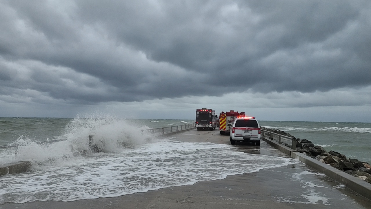
Hurricane Isaias strengthened into the first hurricane of the 2026 Atlantic season overnight and is closing on the northern Gulf Coast, where the National Hurricane Center has posted a hurricane watch from Bay St. Louis, Mississippi, to Indian Pass on the Florida Panhandle. As of Thursday morning the storm carried maximum sustained winds near 85 mph and was moving east-northeast at about 10 mph, with forecasters warning that surge, flooding rains and tornadoes could arrive before the center crosses the coast late Friday or early Saturday.
Where the watch sits and what changes next
The hurricane center said Isaias could reach Category 2 strength by Friday morning and might flirt with low-end Category 3 winds before landfall. The official track still aims between Mobile, Alabama, and Panama City, Florida, with Pensacola in the likely window. Hurricane warnings were already in effect from Ocean Springs, Mississippi, to the Bay–Gulf county line in Florida, and storm-surge watches stretched from the mouth of the Mississippi River east toward Florida’s Nature Coast.
Because the storm is expected to accelerate as it nears shore, damaging winds may spread well inland across Alabama into Tennessee and the western Carolinas even after the eyewall comes ashore. Forecasters also flagged isolated tornadoes along and east of the track from Friday night into Saturday.
States of emergency and campus closures
Florida Gov. Ron DeSantis declared a state of emergency for 25 Panhandle and Big Bend counties, activating the state emergency management plan and allowing pre-positioning of search-and-rescue teams. Alabama Gov. Kay Ivey issued a similar order for 40 counties, telling residents to treat preparations seriously even if the final track shifts.
Florida State University’s Panama City campus canceled classes and events Thursday and Friday, saying essential operations would continue but students should stay off roads once tropical-storm winds arrive. Local officials along the barrier islands reported sandbag distribution and voluntary evacuations for low-lying neighborhoods.
Energy markets and offshore shutdowns
Oil and gas operators had already curtailed Gulf of Mexico production ahead of the storm. Federal tallies cited by industry analysts showed roughly one quarter of Gulf crude output temporarily shut in—on the order of half a million barrels per day—with eight manned platforms evacuated. Traders linked the outage to a sharper move in Brent crude Thursday, compounding anxiety about Middle East supply disruptions and thin refined-product inventories heading into the weekend.
Meteorologists noted Isaias formed unusually late in the calendar year, nearly matching a 1905 record for the latest first Atlantic hurricane, after an El Niño pattern suppressed early-season development. Regardless of the seasonal oddity, emergency managers stressed that the northern Gulf remains acutely vulnerable to surge on the same stretch that saw catastrophic strikes from Camille, Katrina and Michael.
What residents should watch
The hurricane center projected 3 to 7 inches of rain along the coast with localized totals up to 10 inches, plus surge heights of 5 to 7 feet in the core warning area. Residents inside the watch were urged to finish hardening homes Thursday, identify inland shelter options and monitor for short-fuse tornado warnings once outer bands arrive Friday afternoon.