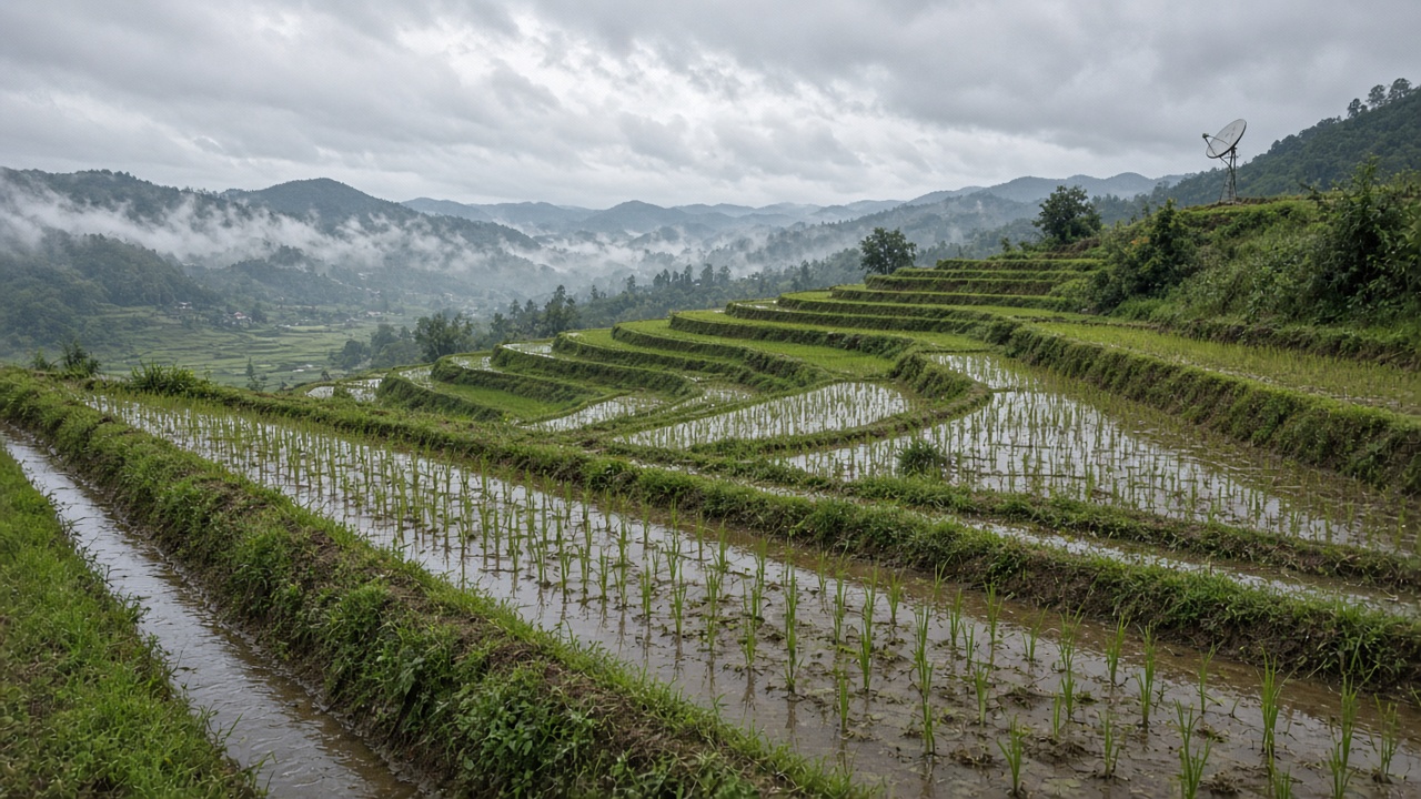
The Taiwan Space Agency released new Formosat-8A frames over Chiayi County paddies this month, showing rice plots at roughly 0.7-meter resolution after post-processing—sharp enough for county agronomists to spot drainage stress weeks before harvesters roll.
Why red-edge bands matter
Formosat-8A, named for documentary filmmaker Chi Po-lin, carries optical sensors strong in red-edge wavelengths sensitive to chlorophyll changes. TASA says those bands help distinguish healthy canopy from waterlogged or nutrient-starved patches better than standard RGB imagery alone.
Chiayi’s plain combines intensive irrigation with typhoon-season downpours, making timing critical. Satellite passes every few days let officials prioritize field visits instead of surveying every township by truck.
Constellation context
Launched in November 2025 aboard a SpaceX rideshare, Formosat-8A is the first of an eight-satellite domestic optical constellation planned through 2031. Premier Cho Jung-tai said in May that raw one-meter resolution met spec and could be sharpened to 0.7 meters in processing—now visible in agricultural use cases, not only bridge and port demos.
Ground partners such as YTTEK have demonstrated high-throughput X-band downlink decoding, moving terabytes from low-Earth orbits into analysis pipelines within tight communication windows.
From imagery to policy
County agriculture bureaus can fuse Formosat frames with soil moisture probes and farmer reports to target subsidies for drainage repair. Insurers experimenting with parametric weather products may also buy historical stacks to settle disputed claims after extreme rain.
National security applications get more headlines, but precision agriculture is where residents feel civilian return on space spending—especially as rice export discussions and domestic food security debates continue.
Limits and calibration
Cloud cover during the plum rain and typhoon seasons still blanks optical sensors. Agronomists must pair satellite cues with ground truthing; 0.7-meter pixels can hint at stress but cannot identify pest species alone.
TASA plans additional Formosat-8 spacecraft, including units targeting sub-meter native resolution with larger primary mirrors later in the decade. Each new bird reduces revisit gaps that currently force Chiayi planners to lean on aircraft photography after storms.
What comes next
Expect open-data releases for researchers studying climate impacts on Taiwan’s grain belt, and tighter integration with disaster dashboards when landslide or flood alerts overlap farmland. For farmers, the practical win is earlier phone calls from extension agents—not another poster about satellites.
Training extension staff
TASA held a briefing for Chiayi agricultural technicians on interpreting red-edge composites alongside drone photos taken at head-height. The hybrid workflow helps when clouds block satellite passes for two or three days during typhoon periphery weather.