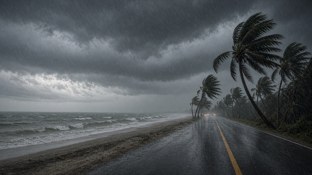
Hurricane Isaias made landfall on the U.S. Gulf Coast on Friday evening as a Category 2 storm, hammering the Florida Panhandle with sustained winds near 105 mph before weakening slightly as it pushed inland.
The National Hurricane Center said the season’s first hurricane came ashore near Destin, Florida, after days of watches and warnings along the northern Gulf. Communities from Mississippi through the Panhandle had urged residents in low-lying areas to leave ahead of a surge forecasters said could inundate waterfront roads and ground floors.
Conditions at landfall
Associated Press reporting from Gulf Breeze described wind and rain lashing the coast as Isaias arrived. The hurricane center said maximum sustained winds were 105 mph at landfall, just below major-hurricane strength, and that the system was expected to lose steam as it moved over land while still delivering strong winds and heavy rain well inland.
Forecasters warned that even a modest weakening after landfall would not eliminate hazards. Storm surge, flash flooding and isolated tornadoes remained on the table through the overnight hours, with impacts possible across a broad swath of the Southeast as the circulation tracked north.
Who faces the worst surge and flooding
Emergency managers along the Emerald Coast focused on surge-prone bays and inlets where a few feet of water can cut off neighborhoods quickly. In Destin and neighboring beach towns, officials closed bridges and shelters opened for people who could not safely ride out the storm in waterfront properties.
Inland, the concern shifts to rainfall rates on already saturated ground. The hurricane center’s guidance pointed to the potential for flooding far from the coast as Isaias’s remnants interact with a frontal boundary, with forecast models showing heavy rain reaching the Atlanta metro area over the weekend.
Power, travel and the rest of the season
Utility crews staged across Florida and Alabama ahead of landfall, anticipating widespread outages from snapped trees on power lines. Airlines canceled flights into Pensacola and other Gulf airports as winds rose, and highway patrol units blocked flooded causeways as the first bands moved through.
Isaias arrives late in a calendar year that had, until this week, been relatively quiet in the Atlantic basin. Climate scientists caution that a single landfall does not define a season, but Gulf Coast officials note that warm water temperatures this year left little room for complacency once a organized system developed in the Caribbean.
What to watch overnight
The hurricane center will issue updates on Isaias’s track and wind field as it weakens to a tropical storm over the Southeast. Residents inland should monitor local flood alerts even after the eye passes, because much of the death toll in Gulf hurricanes comes from water rather than wind. For the Panhandle, the immediate task is search-and-rescue readiness once surge waters begin to recede and roads become passable again.