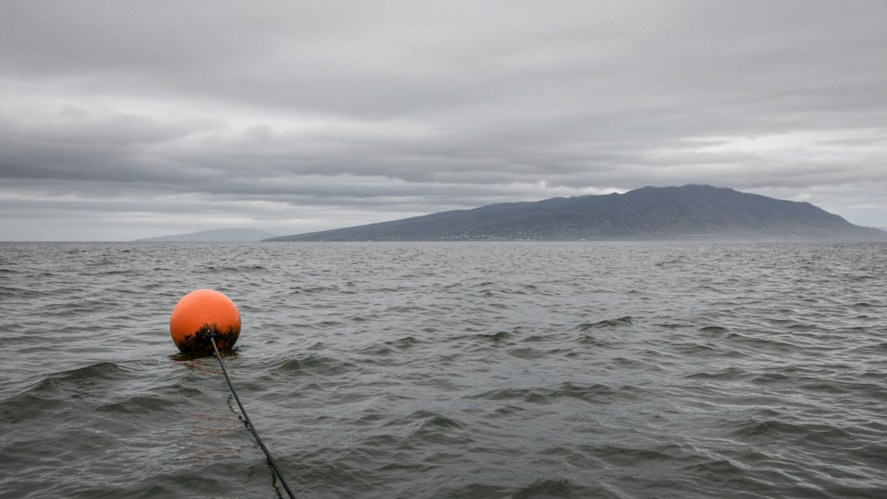
A research vessel crew finished deploying a nine-sensor mooring array east of Orchid Island on Sunday, giving seismologists their first long-term look at microquakes along the Luzon arc where the Philippine Sea plate slides beneath Taiwan.
The array combines ocean-bottom seismometers with pressure gauges that can detect slow slip events too weak for land stations to feel in Taipei. Data will stream by satellite to Academia Sinica servers, then merge with the Central Weather Administration’s public catalog within ninety days after engineers validate the first month of recordings.
Why this location
Orchid Island sits above one of Taiwan’s most active thrust zones. Fishing boats occasionally report sudden water-color changes after moderate quakes, but scientists lacked instruments in the right depth range. The mooring line spans 2,800 meters of water, anchored in a saddle between two submarine ridges.
Community coordination
Researchers briefed Orchid Island township leaders before deployment, promising to share translated summaries of any events felt ashore. The Ocean Affairs Council cleared the route to avoid coral restoration plots marked on nautical charts. Crews retrieved a damaged prototype buoy from the same site last year after Typhoon Haikui’s swell snapped a line.
What comes next
If the array survives the winter monsoon, scientists plan to add a fiber-linked extension toward the Ryukyu trench. Funding for that phase depends on a midterm review by the National Science and Technology Council. For now, the team will publish open metadata so universities can train graduate students on subsea noise filtering.
Instrumentation details
Each node records three-component motion at 200 hertz, with batteries rated for fourteen months before a maintenance ship must swap packs. Scientists will mute naval sonar frequencies known to interfere with geophone channels during nearby exercises.
Data sharing
Universities in Hualien and Tainan will receive mirrored feeds for thesis work on slow-slip detection, provided they sign agreements not to republish raw waveforms that could reveal naval transit patterns. The policy mirrors other sensitive geophysical datasets Taiwan already hosts for tsunami research.
Fishing associations asked for a hotline if trawler gear snags the mooring line; the research team printed laminated coordinates in Mandarin and indigenous languages for harbor bulletin boards.
Ship crews will return in January to swap batteries and download the first full month of high-rate waveforms for quality control before any public catalog release.