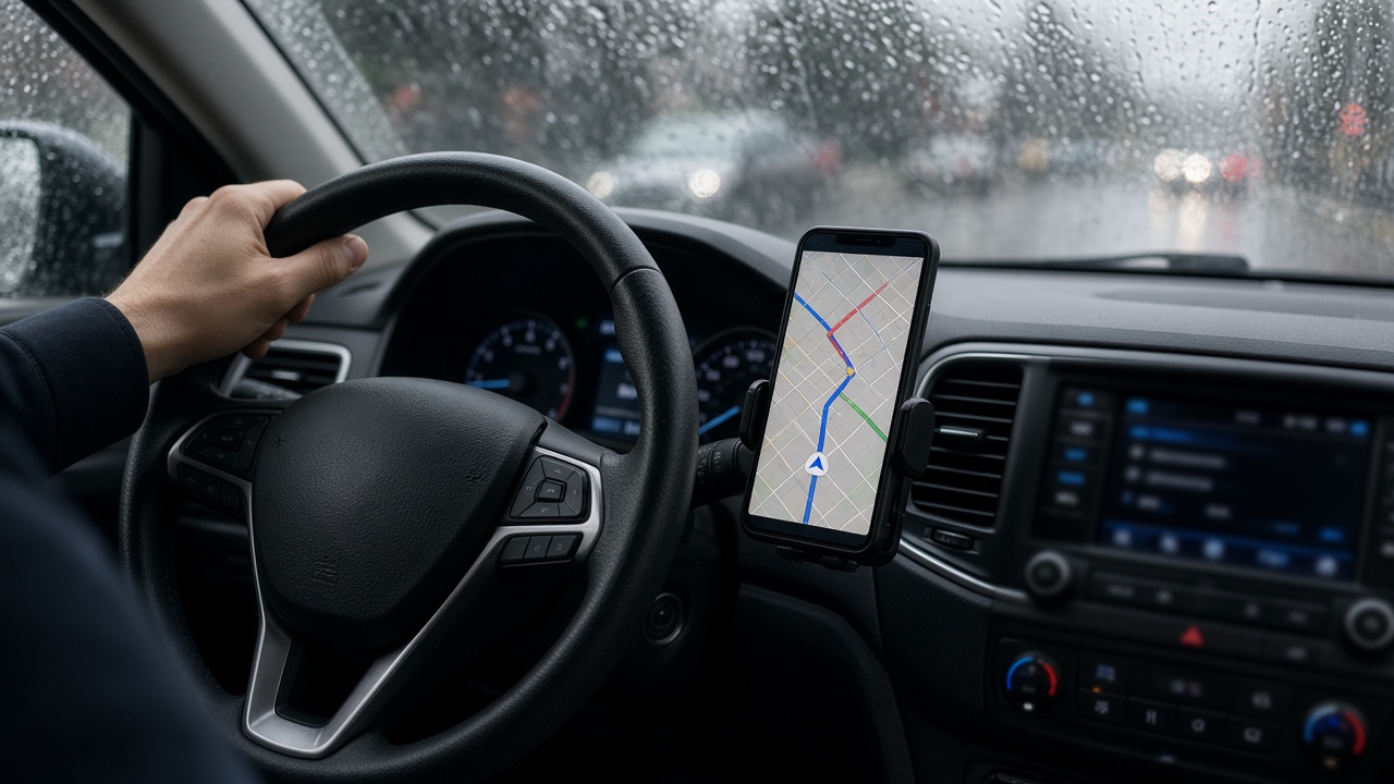
Naver Maps pushed a flood-routing layer Monday that ingests Sunday telemetry from Seoul’s open traffic API, citizen hazard uploads and KMA radar to steer drivers around 37 underpasses and stream crossings that took water during the capital’s worst autumn storm since 2024.
The feature, trained on three years of municipal flood reports plus fresh lidar from Yeonsinnae and Jeungsan corridors, reroutes within seconds when flow sensors or user confirmations flag standing water. Naver said it will keep the layer active through November leaf season at no extra charge.
Model inputs and limits
Engineers combined convolutional rain forecasts with graph routing on Seoul’s road network, down-ranking edges where CCTV partners reported pooling. Crowd reports weighted higher when photos matched rainfall timestamps—an anti-spam step after fake hazard pins plagued earlier typhoon seasons.
The model cannot see future leaf clogs; it assumes Seoul’s expanded drain sensors will push maintenance updates overnight. Naver warned drivers to obey police barricades even if navigation suggests alternate paths—machine suggestions are advisory, not legal detours.
Privacy stance
Location histories used for training are anonymized and discarded after 30 days, according to a blog post from Naver’s AI ethics panel. Fleet customers can opt out, but ride-hail partners signed data-sharing deals to reduce cancellation rates when passengers stall in flooded alleys.
Competitors Kakao Mobility and T Map said they are testing similar layers; Naver’s first-mover advantage matters for ad-supported maps with 30 million monthly active users in Korea.
Regulatory context
The Ministry of Science and ICT encouraged navigation firms to coordinate after Sunday’s metro flood-gate audit highlighted manual overrides in other infrastructure. Maps are not classified as critical infrastructure, yet policymakers treat them as de facto evacuation tools when emergency texts fail to reach drivers mid-commute.
Insurance actuaries quietly watch whether better routing lowers comprehensive auto claims after Sunday’s engine-ingestion incidents along flooded underpasses.
User experience
Drivers see amber flood icons with estimated depth categories—ankle, knee, impassable—rather than precise centimeters Naver says it cannot verify. Voice guidance adds Korean prompts to avoid U-turns into one-way alleys common near Eunpyeong streams.
Monday morning commutes showed modest time savings on the capital region beltway as freight shifted to elevated segments. Naver will publish weekly accuracy scores comparing citizen reports with municipal clearance logs, a transparency move rare among Korean map vendors.
What comes next
Integration with Seoul’s smart drain alerts is planned for December, closing the loop between maintenance trucks and live routing. Until then, the flood layer is a digital patch on a physical maintenance problem—useful, but no substitute for clearing leaves before the next front arrives midweek.
Commercial fleet uptake
Logistics firms running more than 50 vans signed enterprise licenses to push flood layers directly into driver tablets, reducing dispatcher calls when underpasses close. Naver charges per seat but waived October fees for charities delivering meals to semi-basement households pumping water Sunday night.
Map updates sync every three minutes during amber rain advisories, slower than radar refresh but fast enough for commuter decisions on the capital beltway. Offline mode caches the last flood polygon set for tunnels that lose cellular signal.