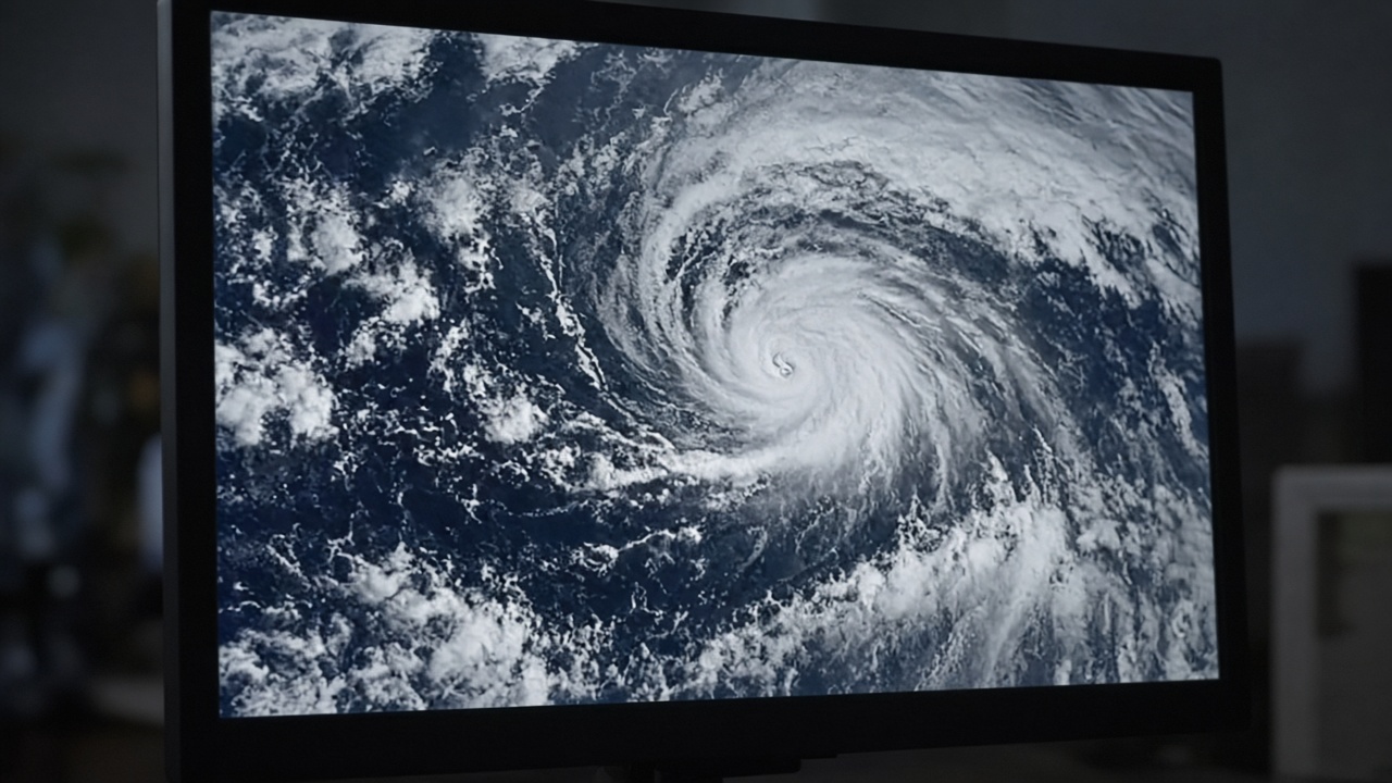
The Central Weather Administration said Typhoon Champi could trigger a sea warning as early as Wednesday night and a land warning Thursday night or Friday as the storm approaches Taiwan, with peak impacts expected Friday and Saturday along the north and east coasts.
Current position and motion
As of 2 p.m. Sunday, Champi was about 2,470 kilometers east-southeast of Eluanbi, Taiwan’s southernmost point, moving west-northwest at 20 kilometers per hour, Focus Taiwan reported. The storm’s radius reached 200 kilometers with sustained winds of 191 kph, classifying it as a strong typhoon on Taiwan’s scale.
Forecaster Liu Pei-teng said models agree Champi will maintain intensity while heading toward waters northeast of Taiwan, but disagree on whether the Pacific high-pressure system will steer it north before landfall or drive it closer to the island or through the Bashi Channel.
Timing for warnings
Liu said a sea warning could be issued Wednesday night or Thursday morning, followed by a land warning as early as Thursday night or Friday. Tuesday will be a key day to see whether the storm recurves, because international model spreads remain wide.
If the high-pressure ridge weakens sooner, Champi may turn north away from Taiwan. If the ridge strengthens, the typhoon could track farther south or cross the Bashi Channel between Taiwan and the Philippines, bringing rain to southern counties even without a direct hit.
Expected impacts
The administration said Friday and Saturday would bring the heaviest rainfall to central and northern Taiwan, including Yilan and Hualien on the east coast. Mountainous areas could see localized downpours even before the center nears, and agencies are pre-positioning pumps in flood-prone underpasses in Greater Taipei based on prior typhoon lessons.
Until warnings are posted, Monday and Tuesday should stay mostly cloudy to sunny nationwide, with brief showers along the Keelung coast, eastern Taiwan and the Hengchun Peninsula. Daytime highs remain in the low 30s Celsius in western cities, giving residents a short window to clear storm drains and restock household batteries.
Maritime and aviation prep
Port operators in Keelung and Kaohsiung told local media they are monitoring swell forecasts but have not yet restricted container movements. Domestic airlines said they would adjust schedules once land warnings define affected airports; offshore island ferries often suspend service before the first land alert.
Fishing authorities urged small boats to return to harbor by midweek if the sea warning timeline holds. Champi developed from a tropical disturbance east of Guam and intensified rapidly last week, a pattern forecasters said resembles other late-October storms that curve late.
Comparison with earlier storms
Taiwan entered the season with adequate reservoir levels after a wet summer, but soil saturation in eastern counties is higher than average, raising landslide risk if rainfall repeats hourly totals seen during July typhoons. National Science and Technology Center for Disaster Reduction dashboards will activate full typhoon mode once sea warnings begin.
What residents should do now
Officials recommend checking rooftop drainage, securing loose signage on balconies and downloading updated emergency alert apps before Wednesday. Households in low-lying districts should identify shelter locations even if the storm ultimately passes offshore.
Champi’s final track is not locked, but the administration’s Sunday briefing makes clear that Taiwan has entered the watch window: calm weather Monday belies a potentially wet weekend ahead.