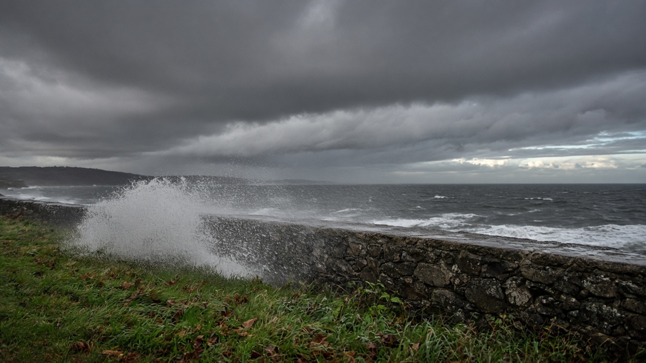
The Met Office named Storm Austen on Tuesday, warning that a rapidly deepening Atlantic low will bring disruptive wind and rain to southern Wales and southwest England from late Thursday into Friday. A yellow wind warning covers 17 Welsh local authority areas from midnight until midday on Friday, with forecasters saying exposed coasts could see gusts of 70mph while inland valleys face 50–60mph winds paired with downpours that may exceed 30mm in places.
Where the warning applies
The yellow alert stretches from Pembrokeshire and Ceredigion along the south coast through Cardiff, Newport and the Valleys authorities, reaching into Powys and parts of mid Wales. The Met Office said the strongest gusts are likely on south-facing headlands and bridges, where crosswinds could disrupt HGV traffic on the M4 and A48 corridors. Rail operators have not yet announced blanket cancellations but told passengers to expect speed restrictions if debris blows onto tracks.
Deputy Chief Forecaster Tom Crabtree said the exact track of Austen was still being refined, but “peak gusts in excess of 70mph are possible on the most exposed coastal areas, while 50–60mph are likely more widely within the warning area.” He urged households to secure bins, garden furniture and trampolines before Thursday night, and warned that large waves could make harbour walks hazardous.
How the week builds toward Friday
Tuesday and Wednesday already feature spells of rain pushing northeast across Wales, with gales possible along the Bristol Channel by Wednesday morning. Thursday may open with a brief quieter interlude before Austen’s parent low rides a strengthened jet stream toward the UK. Rain totals for the working week could top 100mm in parts of south Wales, raising the prospect of minor surface flooding where drains are clogged with autumn leaves.
Energy network operators said repair crews were on standby after a string of Atlantic systems this month, though no widespread outages are forecast ahead of the storm’s arrival. Natural Resources Wales said it would update flood alerts if rivers respond quickly to Friday’s rain band.
What happens after Austen moves through
The Met Office expects winds to ease Friday afternoon as the low exits into the North Sea, but another Atlantic front is already queued for Saturday night into Sunday. That follow-on system may take a more northerly track, spreading wind and rain into northern England and Scotland while Wales sees showers rather than a second named storm.
Storm naming is triggered when forecasters expect medium or high impacts from wind, rain or snow. Austen is the first name on the UK list to be used this autumn, reflecting a shift from the relatively calm start to the season toward a more typical run of Atlantic lows. Local resilience forums in Cardiff and Swansea said they would open multi-agency calls on Thursday to coordinate shelter plans for rough sleepers and check backup power at critical care sites.
Travel and safety advice
Drivers are advised to avoid coastal routes during the highest gusts and to expect temporary bridge closures if wind sensors cross safety thresholds. The Met Office warned of a small chance of injuries from flying debris and a risk of tiles or scaffolding coming loose on older terraces in urban valleys. Ferry operators serving routes from Fishguard and Pembroke Dock said they would review sailings on Thursday evening once wave heights are confirmed.
Forecasters stressed that warnings could be updated as Austen’s center wobbles north or south. Residents are asked to monitor the Met Office app for hourly updates rather than relying on single-point forecasts made earlier in the week.