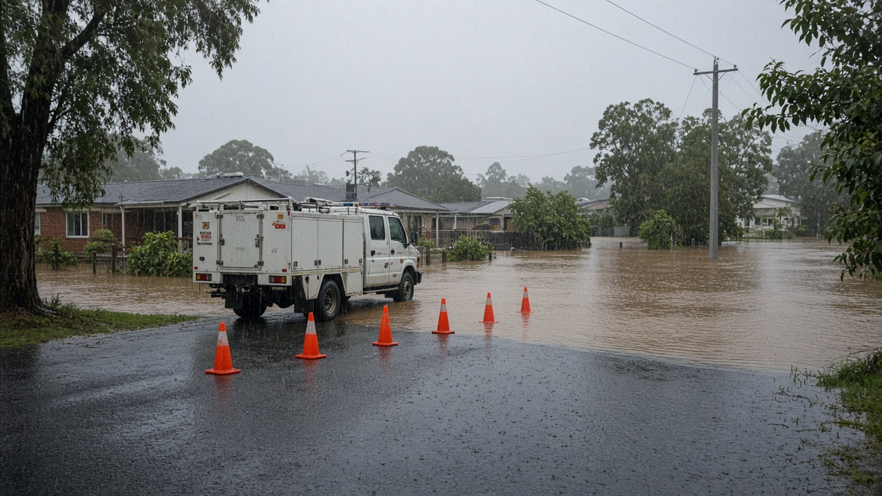
Heavy rain triggered flash flooding across south-east Queensland on Thursday, prompting swiftwater rescues, road closures and school shutdowns from Brisbane to the Gold Coast as the Bureau of Meteorology warned that intense falls could continue.
The ABC reported that the State Emergency Service had logged hundreds of call-outs by mid-afternoon, with emergency workers responding to vehicles trapped in rising water and residents cut off in low-lying suburbs. Falls of up to 200 millimetres were recorded in parts of the region, turning creeks into fast-moving torrents within hours.
Where the worst water hit
Live updates from the public broadcaster showed multiple roads submerged across Brisbane south and west, including commuter routes where police directed traffic away from knee-deep water. On the Gold Coast, local councils reported flooded underpasses and closed beachside access roads as drains struggled to cope with sustained downpours.
Several state and independent schools sent messages to families announcing closures or early pick-ups as campuses near creeks flooded carparks and playgrounds. Education Queensland urged parents to check school apps before travelling, noting that conditions could change quickly if storms reformed in the afternoon heat.
What authorities are telling residents
Queensland Fire and Emergency Services repeated warnings that motorists should never drive through floodwater, noting that most flood-related rescues involve people attempting to cross roads that look shallower than they are. Swiftwater technicians were deployed to at least a handful of incidents where cars stalled in intersections, though authorities had not released a full injury tally by late Thursday.
Energex reported scattered power interruptions as tree branches brought down lines in sodden suburbs, while Brisbane City Council opened sandbag stations in flood-prone pockets near the Brisbane River tributaries. The bureau maintained severe weather advice for the south-east, saying another band of storms could develop as a humid air mass lingered over the state.
Outlook for the long weekend
Forecasters said the heaviest cells were likely to drift offshore by Friday, but catchments were already saturated after a wet spring, raising the risk of renewed creek rises if additional storms form over the weekend. Wivenhoe Dam operators told the ABC they were monitoring inflows but had not moved to increase releases, seeking to balance flood mitigation with water storage ahead of summer.
For commuters, the immediate task is to treat every flooded road as closed until emergency services clear it. For insurers and local businesses, the Thursday inundation is another reminder that south-east Queensland rapid urban growth has pushed more housing and retail onto former flood plains that still fill quickly when 200 millimetres falls in a single day.