Queensland emergency services downgraded a flash-flood emergency in the Central Highlands on Sunday after an intense night of rain, but major flood warnings along the Mary River kept communities from Gympie to Tiaro on alert as a slow-moving storm system continued to drift east.
Residents around Clermont and the Theresa Creek Dam catchment were told earlier to “take shelter now” when a flash-flood emergency was declared for the region. Authorities later shifted the message to Watch and Act as river rises stabilized enough for people to prepare rather than immediately evacuate, though local roads remained hazardous and several bridges were underwater by mid-morning.
Mary River gauges flash red upstream of Tiaro
The Bureau of Meteorology issued a major flood warning for the Mary River, with moderate flooding already occurring at Gympie and Miva and the prospect of major flooding at Tiaro overnight Sunday into Monday. At 6:19 a.m. AEST, the river at Gympie stood at 6.56 metres and rising, while Tiaro was at 8.19 metres with forecasters warning it could approach the 12-metre major flood mark if additional rain fell on saturated catchments.
Some parts of the Mary catchment have recorded more than 300 millimetres in the past week, with pockets of the Sunshine Coast seeing upwards of 400 millimetres. Senior forecaster Felim Hanniffy told ABC Radio that inland storms would migrate toward the south-east on Monday, bringing a “trifecta” of large hail, damaging winds and heavy rainfall that could reaccelerate river rises even after a brief lull.
Roads, dams and the week ahead
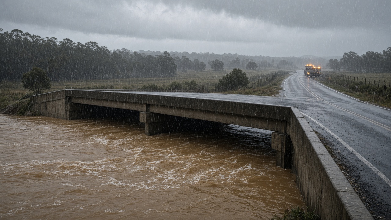
Images from the Central Highlands showed a flooded bridge over Sandy Creek near Clermont, illustrating how quickly tableland creeks respond to bursts of tropical moisture. Moderate flood warnings were also in place for the Warrego and Weir rivers, stretching SES volunteers and council crews across a state still recovering from earlier spring downpours.
Queensland Fire and Emergency Services repeated standard flood safety advice: never drive through submerged roads, heed closure signs, and monitor ABC local radio or the ABC Listen app for warning updates. Disaster coordination websites listed multiple road closures across the Wide Bay and Central Highlands, and power utilities reported isolated outages where water encroached on infrastructure.
Forecasters cautioned that Sunday was not the final act. Hanniffy said Monday would likely be the peak severe-storm day for south-east Queensland, meaning communities along the Mary could see a second pulse of runoff before rivers crest. For now, the immediate focus is mapping which low-lying properties at Tiaro and Maryborough may need sandbags if the major flood scenario materializes after dark.