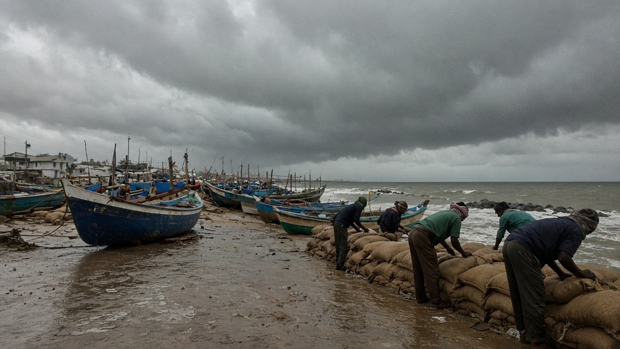
India’s meteorological office has placed Andhra Pradesh and adjoining south Odisha coasts under a pre-cyclone watch as a depression over the east-central Bay of Bengal is forecast to intensify rapidly and make landfall as a very severe cyclonic storm on 28 October. The system was centred about 820 km east-southeast of Visakhapatnam on Friday afternoon and is expected to recurve west-northwest toward the Andhra coast.
IMD track and intensity
In a special tropical weather outlook issued on 24 October, the India Meteorological Department said the depression is very likely to become a deep depression on 25 October, a cyclonic storm by the morning of 26 October, and a severe cyclonic storm on 27 October. It could reach very severe cyclonic storm strength near the Andhra Pradesh coast around the morning of 28 October.
IMD’s forecast landfall window spans Andhra Pradesh and Yanam between Bapatla and Visakhapatnam, with maximum sustained winds of 115–125 km per hour and gusts to 140 kmph around 28 October. Model consensus has shifted slightly later than earlier runs, but most global and regional guidance still points to an Andhra crossing rather than Odisha or Tamil Nadu.
Warnings for coasts and sea
Squally weather with winds of 40–50 kmph, gusting to 60, is likely to begin along Andhra Pradesh and Odisha coasts on 27 October and strengthen as the system approaches. Sea conditions are expected to turn very rough to high over the west-central Bay from 26 October, and fishermen have been advised not to venture out.
Odisha’s regional met centre issued a yellow pre-cyclone message covering south Odisha districts, with heavy rain possible at isolated places inland even before landfall. State disaster managers typically pre-position boats, relief materials and evacuation maps when IMD escalates from depression to cyclonic-storm categories.
What officials are preparing
Andhra Pradesh and Odisha administrations were reviewing shelter capacity and coastal mandal alerts on Saturday as the depression consolidated. Port operators and offshore energy installations along the Bay will watch the next two advisories for any shift in landfall point; IMD noted a minority of models still show outlier tracks toward northeast Odisha or Tamil Nadu.
For residents inland, the immediate risk is less wind than the surge of rain bands that precede landfall. IMD asked districts to monitor bulletins every six hours as aircraft and satellite data refine the recurvature timing. If the storm follows the central forecast, evacuation orders could come as early as 27 October for low-lying mandals between Kakinada and Machilipatnam.
Rail and airport operators in Visakhapatnam said they were reviewing contingency plans but had not announced cancellations on Saturday. The National Disaster Response Force routinely pre-positions teams in coastal states during October cyclone season, and Andhra Pradesh Chief Secretary-level meetings were expected once IMD upgrades the system to cyclonic-storm status.
Fisherfolk in Kakinada and Machilipatnam harbours were hauling nets and securing boats on Saturday afternoon as squalls began brushing the outer Bay. IMD reminded that track errors of 50–80 km remain common three days before landfall, so Odisha officials are keeping southern districts on alert even though the primary cone points at Andhra.