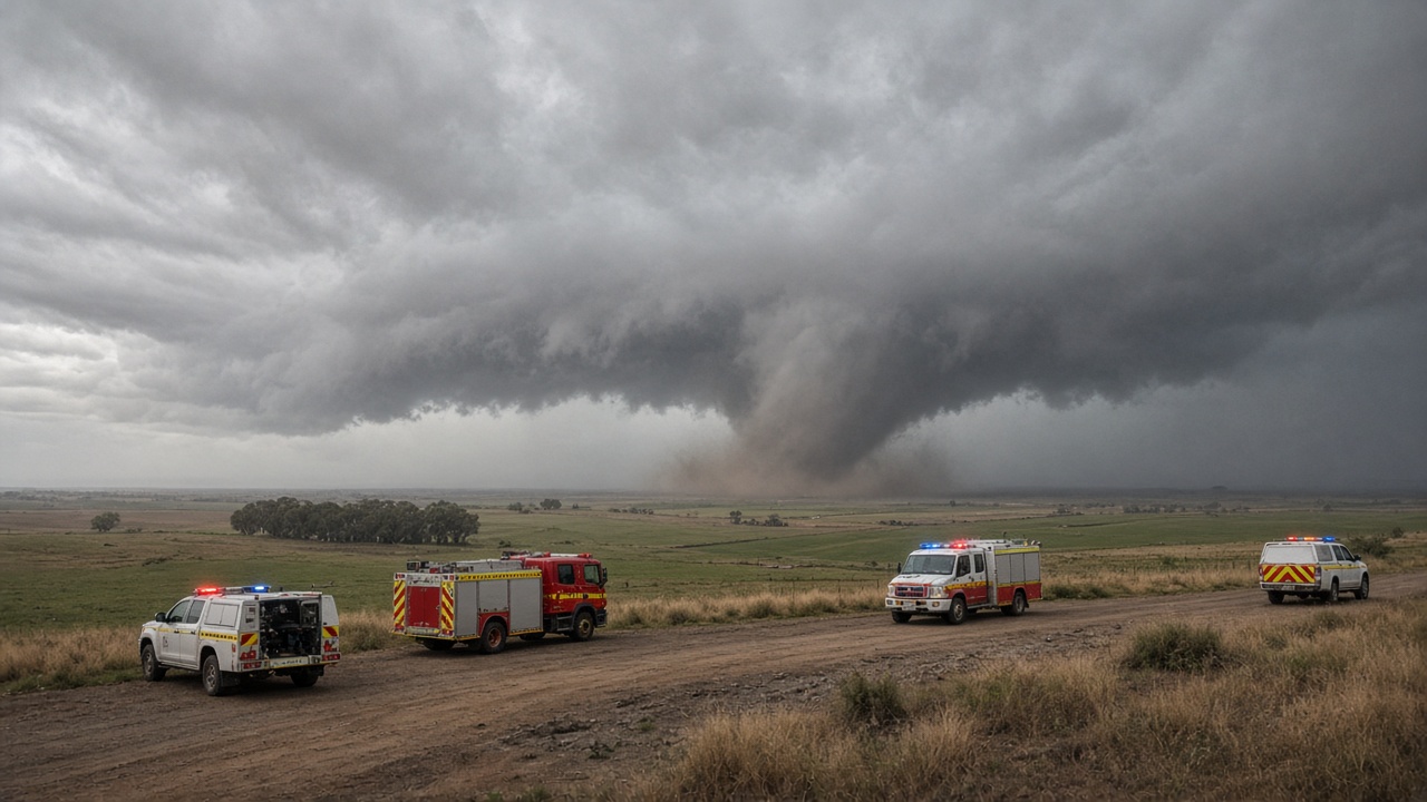
Residents across the Southern Tablelands were told to shelter indoors on Saturday afternoon after the New South Wales State Emergency Service issued a watch-and-act alert covering Goulburn and Yass, citing damaging winds and large or possibly giant hail. The warning came as a fast-moving storm cell swept the region north of Canberra and the Rural Fire Service captured video of a tornado forming near Gunning, about forty kilometres west of Goulburn.
What responders saw on the ground
The NSW RFS Southern Tablelands zone posted what it called an "incredible video of a tornado" and said crews remained at multiple incidents across the district, working alongside SES volunteers. The Goulburn SES unit said the tornado explained the elevated alert and reported that while Goulburn escaped a direct hit, "parts of Yass have had extensive damage." Operations were expected to continue through the night as teams cleared fallen trees, secured damaged structures and checked on isolated properties.
The SES advised people in the watch-and-act area to move away from windows, bring children and pets inside, and reconsider travel because road closures could strand motorists. The Bureau of Meteorology said the broader eastern seaboard faced a volatile weekend, with senior meteorologist Angus Hines warning that severe storms from Newcastle to Gympie on Sunday could produce wind gusts above 125 kilometres per hour, giant hail, heavy rain and flash flooding.
Broader weather picture
Saturday's outbreak followed gusts above 100 kilometres per hour in parts of southern New South Wales and northern Victoria earlier in the day. By midnight Sunday, a severe thunderstorm warning remained in place for sections of the central west and northern inland, while warnings for Victoria's Gippsland and Queensland's Maranoa and Warrego districts were cancelled. Emergency managers urged households between the Hunter and the North Coast to monitor Bureau updates closely, with the stretch from north of Newcastle to north of Byron Bay flagged as the primary focus for Sunday.
What happens next
Insurance assessors and local councils will begin tallying property damage around Yass once crews declare roads safe. The SES said it would keep supporting the Yass unit and affected communities into Sunday as additional storms approach. For now, the immediate priority is life safety: stay off damaged roads, report downed power lines to authorities, and treat any new warnings as mandatory rather than advisory while the line of storms continues to track across the east.
How to stay informed
The Bureau publishes rolling warnings on its website and app, and the SES issues watch-and-act messages when conditions can change within hours. Rural landholders should secure loose equipment before the next line of storms arrives on Sunday, and motorists should carry a charged phone and avoid driving through water over roadways even if the funnel cloud has passed. Community members who need non-life-threatening assistance can contact the SES hotline while triple-zero remains for immediate danger.