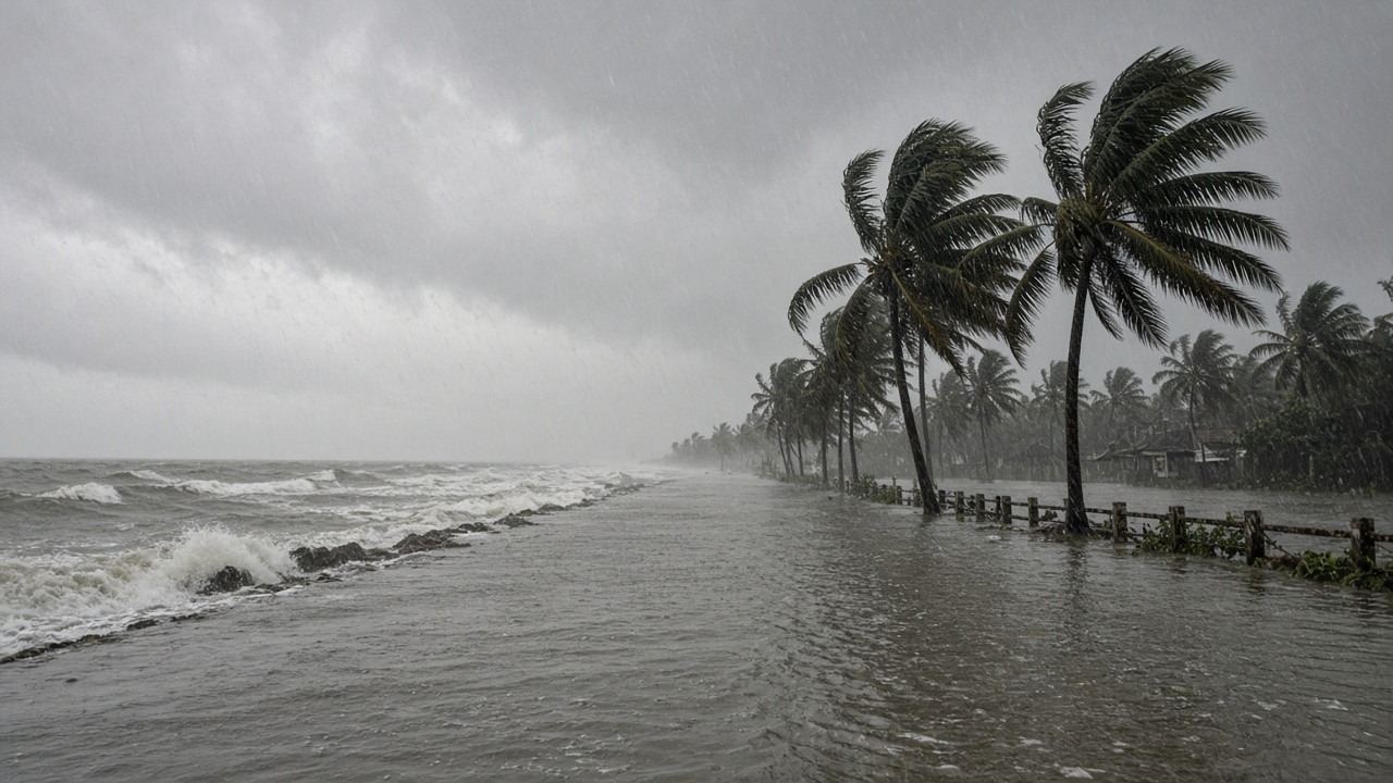
Severe Cyclonic Storm Murasu completed landfall along south coastal Andhra Pradesh near Ongole on Tuesday after an eight-hour push ashore, the India Meteorological Department said. The system crossed between Nellore and Narsapur with sustained winds of 100 to 110 kilometres per hour, gusting to 120 kmph, before tracking north-northwest at roughly eight kmph.
Landfall timeline
IMD bulletins showed the wall cloud entering land from about 1 a.m. IST, with the centre near latitude 15.53°N and longitude 80.22°E between 3:30 and 5:30 a.m. By mid-morning the storm lay about 30 kilometres from Ongole and was forecast to weaken into a cyclonic storm by noon, then a deep depression by midnight.
Chief Minister N. Chandrababu Naidu held a review with district collectors while landfall was still underway, directing officials to keep people off roads in affected mandals and to verify the condition of electricity poles and substations. Energy department briefings reported no fallen poles and no supply disruptions statewide as of the early review, a claim officials said they would continue to test as bands of rain moved inland.
Rescues and damage on the ground
Prakasam district teams launched evacuations in Samatha Nagar in Ongole after thatched houses collapsed under heavy rain and wind, according to reports from the scene. A large tree fell on a statue of Andhra Kesari Tanguturi Prakasam Panthulu on the collectorate premises, crushing the monument— a symbolic image of the storm's force in the district that shares the leader's name.
Observed rainfall exceeded 190 millimetres at Naguluppalapadu and topped 180 millimetres at Kothapatnam in Prakasam over the preceding day, IMD hourly data showed. Storm surge of about 1.0 to 1.5 metres above astronomical tide threatened low-lying stretches around Bapatla, Krishna and Prakasam before easing below half a metre by noon.
Warnings still active
Even after the eye crossed, forecasters warned of heavy spells over south coastal Andhra for the next 12 hours, with NTR, Krishna, West Godavari, Palnadu, Guntur and Prakasam districts under intense rain bands. Real Time Governance Society advisories urged fishermen to stay ashore and told residents in inundation-prone wards to move to designated shelters.
Andhra Pradesh State Disaster Management Authority chief Prakhar Jain said isolated heavy rainfall would persist as Murasu weakened, stressing that the rear flank of the cyclone could still deliver dangerous gusts through the afternoon.
Regional outlook
IMD projected gradual weakening as the depression tracks northwest, but Telangana and interior Odisha could see heavy rain on the system's outer bands. Disaster managers in Chennai, which had closed schools ahead of the storm's approach, monitored whether Murasu's path would spare Tamil Nadu the worst surge seen during earlier cyclone alerts this season.
What officials watch next
Naidu's door-to-door checks aim to catch stranded families before dark, especially in slums where thatched roofing failed first. Power authorities must confirm whether the early "no outage" report holds once saturated soil topples trees into lines.
For Andhra Pradesh, Tuesday's story is not only the wind speed at landfall but the slow crawl inland— a storm that took hours to come ashore and may take a full day to release its water across the coastal plain.