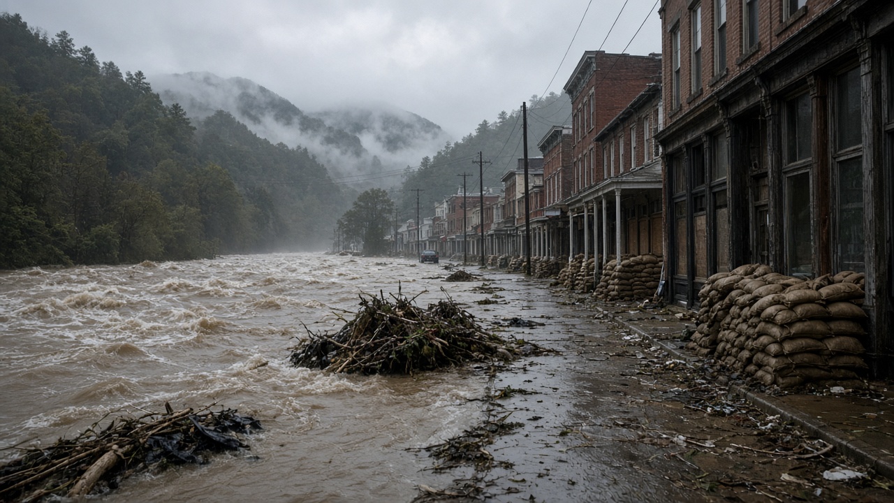
The same storm system that dumped catastrophic rain along the Tennessee–Georgia border is sliding up the Atlantic coast this weekend, leaving mountain towns to shovel mud while forecasters warn coastal counties from North Carolina to Massachusetts to brace for more water.
In McCaysville, Georgia, and Copperhill, Tennessee—twin cities straddling the state line—residents and public works crews spent Saturday clearing debris beside the surging Toccoa River. The National Weather Service office in Peachtree City said rainfall across the surrounding watershed reached 10.28 inches over six hours and 11.19 inches over 12 hours into Thursday morning, crossing the statistical threshold forecasters describe as a 1-in-1,000-year rainfall event for that location.
What “1,000-year” actually means
The label does not mean a storm happens once every millennium. It signals roughly a 0.1 percent annual probability that rainfall of that magnitude will occur at a specific point, using historical climate records. Local broadcaster WGTJ quoted NWS forecasters saying both the six- and 12-hour totals at Blue Ridge, Georgia, exceeded NOAA Atlas 14 thresholds for that benchmark.
Early Thursday, officials in Fannin County, Georgia, and Polk County, Tennessee, declared flash flood emergencies along the Ocoee and Toccoa river basins. McCaysville police ordered evacuations in low-lying neighborhoods, and Georgia State Patrol helicopters stood by as swiftwater teams pulled families from inundated homes. A propane tank fire at a flooded business added to the overnight chaos before waters began to recede.
Cleanup and state aid
By Saturday, Mayor Terry Arp told local media that downtown McCaysville operators were gathering to assess storefront damage. Georgia Governor Brian Kemp’s disaster declaration for McCaysville and surrounding areas is designed to speed insurance paperwork and federal aid requests, according to WGTJ’s Friday update. Copperhill officials kept municipal buildings closed and urged visitors to stay away from riverbanks still running high.
Polk County schools that canceled classes Thursday planned gradual reopenings as road crews inspected bridges for scour damage—a routine step after Appalachian flash floods undercut piers.
East Coast risk through the weekend
Associated Press reporting on Saturday tracked the parent storm as it moved northeast, prompting flood advisories along the Eastern Seaboard. Forecasters said more than an inch of rain could fall along much of the Interstate 95 corridor, with localized 2–3 inch totals near the coast from Virginia into southeastern New England before showers taper from south to north.
For Atlanta commuters and Northeast weekend travelers, the sequence is a reminder that extreme rain is increasingly a transport story: mudslides choke mountain highways first, then urban underpasses and coastal storm drains fail under repeat downpours. The Tennessee–Georgia burst is the headline catastrophe; the Atlantic transit is the next act.