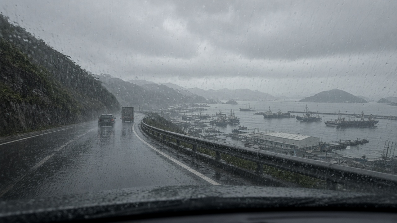
Central Weather Administration radar painted intense rain cells along Keelung’s northern coast before the Monday commute, as a typhoon’s outer bands collided with northeasterly monsoon flow.
Forecasters issued a heavy-rain advisory at 5:40 a.m. after the Sijhih radar mosaic showed training echoes stalled between Cape Fugui and Badouzi. Commuters on Provincial Highway 2 reported standing water near the harbor tunnel entrance, and the Keelung City Government delayed opening two hillside schools for an hour while crews cleared debris traps.
Storm track uncertainty
Typhoon Phoenix remained south of Taiwan at 2 a.m., but meteorologists said its northwest turn would sling moisture into the Taipei Basin through Tuesday night. Wind gusts at Pengjia Islet hit 104 kilometers per hour overnight, while Taipei Songshan Airport recorded sustained winds below warning thresholds.
CWA Administrator Cheng Ming-dean told a morning briefing that the agency may issue a sea warning if the storm’s structure reorganizes over warmer waters east of the Philippines. Landslide teams in Ruifang and New Taipei’s mountainous districts were placed on stand-by.
Transport and port impacts
Keelung Harbor Bureau suspended outdoor crane moves for two hours and required lashings on empty containers stacked above three high. Taiwan Railways Administration ran slower on the Yilan line where rockfall sensors triggered automatic speed limits.
Airlines delayed seven morning departures from Songshan, mostly regional jets bound for the offshore islands, because ground crews could not finish de-icing checks on wing surfaces soaked by horizontal rain.
Extended outlook
Forecast models diverged on whether Phoenix would make landfall in Yilan or brush the coast and veer toward Okinawa. Cheng urged residents to refresh emergency kits and avoid coastal photography during high surf, even if the sun breaks through in the afternoon.
The administration will update rainfall tables hourly on its open-data portal through the week.