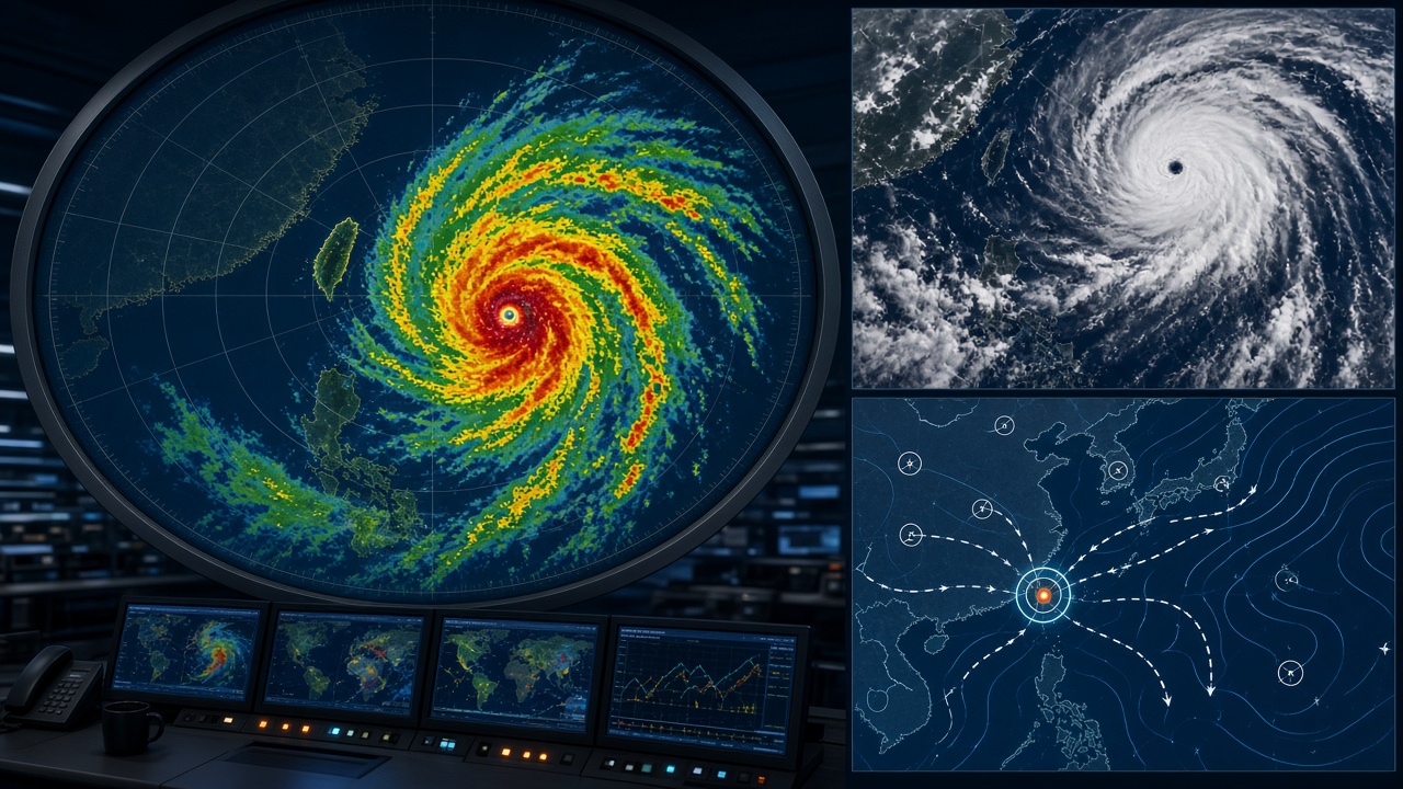
Taiwan’s Central Weather Administration said Wednesday it will roll out an updated rapid-intensification guidance package for western North Pacific typhoons, blending microwave satellite passes with buoy and coastal radar data after three late-summer storms strengthened faster than 24-hour public forecasts indicated.
What was measured
The upgrade targets storms that gain at least 30 knots in 24 hours—an threshold the CWA adopted from joint research with the Japan Meteorological Agency. In August, Typhoon Koinu’s secondary peak near the Luzon Strait and September’s Tropical Storm Pulasan both exceeded that rate in windows shorter than the agency’s legacy text products described, according to an internal verification memo summarized for reporters.
Scientists added humidity probes from four offshore buoys maintained with the National Academy of Marine Research and ingested 89-GHz microwave imagery from the NOAA-20 and Suomi NPP passes when clouds allowed. The system does not replace human forecasters; it flags bins where models disagree so duty meteorologists can extend marine warnings or advance landfall probability cones.
Shipping insurers covering Kaohsiung and Mailiao petrochemical terminals asked for a briefing on the product because rapid intensification near the Bashi Channel can idle tankers for days; the CWA agreed to a closed-door session Friday.
Limits
The CWA cautioned that the product remains experimental for public SMS until after Golden Week. Sample size is small—only 11 qualifying bursts were studied between 2022 and 2025—and the agency will not claim minute-by-minute intensity precision for landfall in mountainous counties. Coastal wind gust forecasts still rely on separate downscaling runs.
What this does not mean for policy
Faster satellite fusion does not change evacuation law or landslide thresholds set with the Soil and Water Conservation Bureau. It may, however, give harbor masters an extra six to nine hours when rapid intensification occurs outside the typical 72-hour planning window.
Next steps
Joint drills with county fire departments are scheduled for October, testing how new alert codes map to village loudspeakers. The CWA will publish verification scores each month on its open-data portal, a transparency step officials said was demanded after 2024’s ambiguous “near typhoon” wording drew criticism from Orchid Island leaders.
For households, the practical change is narrower: late-September marine forecasts will show a highlighted band when microwave signatures and buoy moisture align—a signal to tie boats and recheck balcony drains even if the storm name still looks distant on a phone widget.
Researchers at National Taiwan University who consulted on the upgrade said they will publish a preprint comparing the new guidance against 2024’s Typhoon Krathon track errors, giving outside scientists a benchmark the agency historically kept internal until season’s end.
County emergency managers on Orchid Island and in Hualien welcomed the extra lead time but asked for plain-language SMS templates in addition to technical marine products.