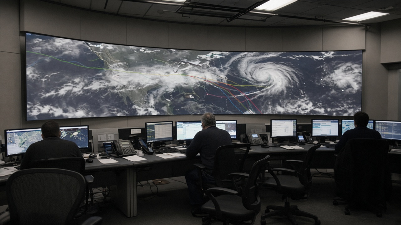
NOAA added a dedicated rapid-intensification layer to its Atlantic hurricane modeling suite this week, targeting a failure mode that dominated the last two seasons: storms that jumped to major hurricane strength in less than a day over abnormally warm ocean heat content.
What the layer measures
Forecasters said the upgrade ingests higher-resolution satellite microwave passes, expanded Argo float profiles, and lightning density fields to estimate how quickly a storm's core can tighten when wind shear drops suddenly. It does not replace the existing intensity consensus; it flags scenarios where traditional statistical schemes under-forecast deepening.
Initial retrospective tests against 2024 and 2025 storms showed improved detection of 24-hour leaps of 35 knots or more, especially in the Gulf of Mexico and western Atlantic. Authors cautioned that gains shrink for storms entangled with dry air intrusions—a limit they published alongside the rollout.
Where it runs operationally
The layer feeds the Hurricane Weather Research and Forecasting system and the HAFS nest used at the National Hurricane Center during named storms. Emergency managers in Florida and Puerto Rico received briefings on how to read probabilistic ribbons that now include a separate rapid-intensification band.
Broadcast meteorologists were warned not to treat the band as a certainty cone; it is a conditional risk surface meant to extend lead time for port closures and grid hardening decisions that previously reacted only after reconnaissance aircraft confirmed a jump.
What authors do not claim
NOAA scientists said the layer does not predict rapid intensification more than 48 hours ahead with uniform skill, and it does not address rainfall totals or storm surge footprints. Climate attribution to long-term warming is discussed in separate research papers, not in the operational release notes.
Sample sizes for the strongest Gulf leaps remain modest, which is why verification metrics emphasize false-alarm rates alongside hits.
What happens next
AOML teams will compare the layer's performance during the remainder of the 2026 Atlantic season, with public verification scores posted monthly. If gains hold, planners may extend similar physics to the Eastern Pacific nest next year.
Insurers and offshore operators told InfoHandle they will watch whether the layer changes named-storm deductibles mid-season; NOAA officials said policy is outside their mandate but acknowledged that better lead time could shift risk models.
For residents, the practical change is subtler: evacuation windows may open earlier when the layer agrees with recon trends, even if the classic category number lags by a few hours. That is the point—measure the jump, not just the label after it happens.
Verification plan
Independent researchers at university consortiums will receive the same retrospective scores NOAA uses internally, a transparency step added after criticism that operational upgrades outpaced public verification during the 2025 season.
Coastal utilities said they may stage crews earlier when the layer flags a corridor overlapping transmission right-of-way maps, even if official category labels still show a minimal storm. That staging costs money; utilities want FERC clarity on cost recovery if false alarms rise.
The layer does not alter storm surge watches directly, but emergency managers in low-lying counties said synchronized surge and intensity messaging reduced conflicting evacuation orders during drills this spring.
Researchers caution that ocean heat content remains elevated basin-wide, so even a better rapid-intensification signal cannot by itself reduce landfall risk. It can only shorten the time communities spend guessing.