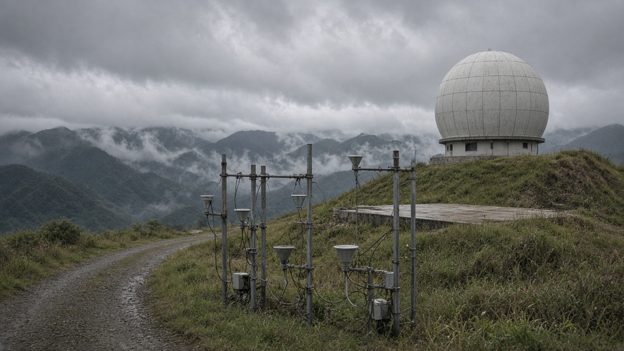
A National Central University team reported this week that assimilating Taiwan’s C-band weather radar into typhoon rainfall ensembles narrowed 24-hour precipitation spread by roughly 18 percent in hindcasts of last season’s storms, a gain county emergency managers say could shrink ambiguous “maybe flood” warnings into actionable sandbag counts before landfall.
What the model changes
Traditional ensembles perturb initial conditions but underuse radar’s fine-scale picture of rain bands over the Taiwan Strait. NCU researchers led by the Department of Atmospheric Sciences fed quality-controlled reflectivity and Doppler winds from CWA’s mountain and coastal radars into a convection-permitting nest every 15 minutes, letting short-term forecasts correct when outer rainbands spin up faster than satellite loops suggest.
In replayed cases for Typhoon Haikui’s 2023 approach and a 2024 September disturbance that flooded Yilan, the assimilated runs placed peak hourly totals within 12 kilometers of observed gauges more often than control runs that relied on satellite moisture alone. The improvement was largest 6 to 24 hours before landfall—the window when reservoirs release water and schools decide on closures.
Limits the authors stress
The paper, accepted for presentation at a regional meteorological society meeting, does not claim street-level precision. Orographic lift over the Central Mountain Range still diverges when wind direction shifts a few degrees. Assimilation also fails when radars are down for maintenance—a recurring issue Taipower line crews and weather technicians negotiate during calm weeks that suddenly end when storms accelerate.
Lead author Hsu Wei-lin told InfoHandle the team withheld claims about extreme tail events because sample size is small. Peer reviewers asked for more neutral-year tests; those runs show modest gains that matter operationally but are not headline revolution.
Path to operations
The Central Weather Administration operates its own ensemble system and must validate NCU’s workflow on independent hardware before any operational handoff. CWA officials said they welcome university prototypes but need documented failure modes when radar clutter from insects or terrain blocks returns. A memorandum signed in August opens a sandbox API for reflectivity tiles; production use remains at least one typhoon season away.
National Science and Technology Council grants cover GPU hours on NCU’s cluster; sustained operations would require budget line items CWA is negotiating with the Ministry of Transportation and Communications, which funds disaster communications towers that depend on forecast confidence.
Why counties care
Yilan and Hualien emergency desks cited cases where broad-brush warnings emptied night markets but left some river towns dry, eroding public trust. Tighter ensembles could let them trigger tier-two evacuations only along specific tributaries when probability mass crosses thresholds, rather than countywide texts. That precision reduces shelter costs and keeps roads clear for freight during Mid-Autumn delivery peaks reported elsewhere in today’s edition.
Comparison with regional peers
Japan’s Meteorological Agency and Korea’s weather service already ingest domestic radar into limited-area models; Taiwan’s radar network is denser along the west coast but sparser on the east, where gaps motivated NCU to weight coastal sites more heavily. International collaboration continues on sharing assimilation code under open licenses, though operational sovereignty rules keep final tuning local.
Data sharing and privacy
Radar feeds are not personal data, but telecom companies asked whether emergency SMS timing studies will use assimilated outputs; NCU said downstream apps must cite CWA official warnings, not university experimental runs, to avoid liability when experimental tracks diverge from public bulletins.
What comes next
Researchers plan real-time demonstration runs during the next northwest Pacific disturbance, publishing difference maps against operational forecasts for emergency trainers. If gains hold, the mechanism of progress is boring in the best way: better use of hardware Taiwan already built, feeding decisions that must be made before the rain gauge fills—not after social media fills with hindsight.