Scientists at the National Centre for Biological Sciences, Tata Institute of Fundamental Research, published georeferenced frog-call index maps for twelve Western Ghats massifs, pairing monsoon rainfall grids with nightly acoustic recordings so state forest departments can compare biodiversity audits year over year.
What the maps measure
Each index cell summarizes call frequency, dominant frequency bands, and species richness estimates drawn from automated classifiers trained on Raorchestes and Nyctibatrachus reference libraries. The team did not rely on morphology alone—bioacoustics separated lineages that field guides still lump together.
Maps highlight Agasthyamalai, Anamalai, and Kudremukh escarpments where prior papers noted high undescribed diversity. Monsoon timestamps align with India Meteorological Department gridded rainfall so auditors can see whether silent nights reflect drought stress or recorder failure.
Methods and limits
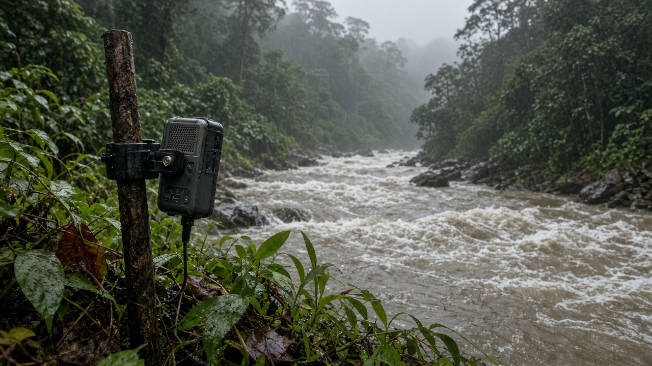
Survey crews deployed waterproof recorders for fourteen-day windows during peak monsoon, swapping batteries at panchayat- approved trailheads to avoid disturbing breeding sites. Sample sizes vary: some massifs have dense grids, others only ridge transects because landslip risk blocked deployment.
Classifiers err when diesel generators or temple loudspeakers bleed into recordings; the release flags those nights rather than deleting them, preserving transparency about noise contamination.
Who can use the data
Kerala and Karnataka forest ecology cells already requested CSV exports to overlay on existing camera-trap projects. The maps are open for noncommercial audit use with citation; commercial bioprospecting routes require separate MoEFCC permissions unchanged by this release.
TIFR emphasized the product is a baseline, not a permitting shortcut—mines and hydropower still need site-specific surveys.
Replication at Indian institutes
Wildlife Institute of India graduate teams plan to rerun classifiers on 2024 audio they collected independently, a replication step NCBS welcomed. IISc ecologists noted the work closes part of the “Wallacean shortfall” for amphibians by tying geography to call divergence, echoing earlier lineage papers from the same region.
What monsoon audits should track
Departments can watch for sudden drops in Nyctibatrachus night calls near plantation edges—a signal documented in peer literature linking stream siltation to breeding failure. Conversely, stable indices after landslip restoration projects give evidence that slope stabilization helped, not just road reopening.
Public release stops at genus-level heatmaps; exact GPS for critically endangered lineages stays with forest guards to reduce poaching risk.
For policymakers, the takeaway is inexpensive monitoring: microphones plus rainfall clocks beat one-off expert walks when monsoon windows are short and roads are fragile.
Field validation this season
NCBS teams will revisit three massifs after the current monsoon to test whether indices shift following localized landslip repairs. If classifiers detect new call types, updates will ship quarterly rather than waiting for multi-year paper cycles.
Graduate students at Wildlife Institute of India already downloaded the training weights to compare against their 2024 clips—a replication path the lead authors said they encourage because independent confirmation matters more than press-release novelty.