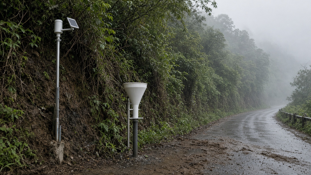
National Central University researchers expanded a Hualien County landslide sensor network after September typhoon rains triggered debris flows on mountain roads, adding inclinometers, pore-pressure probes, and tipping-bucket rain gauges that feed a county early-warning dashboard with published error bars. NCU's disaster mitigation lab disclosed node counts and sampling intervals in a technical note reviewed by InfoHandle; the work is pilot-scale, not a province-wide replacement for human patrols.
What was measured
The new nodes monitor shallow slope movement on clay-rich formations above Provincial Highway 9 spur routes where prior typhoons stripped vegetation. Inclinometers record tilt at thirty-minute intervals; rain gauges report one-millimeter resolution accumulations compared with CWA radar blends. Authors report trigger thresholds calibrated to 72-hour antecedent rainfall above 450 millimeters combined with tilt rates exceeding 0.3 millimeters per day—parameters validated against two historical slides, not a decade-long population.
Effect size and limits
During the latest storm, the mesh flagged one slope segment hours before a minor flow closed a lane; a second alert was a false positive when a tree root bundle shifted without mass movement. NCU explicitly warns the system cannot detect deep-seated failures or rapid flows from gullies outside instrument sight lines. Sample size remains dozens of nodes across three townships—enough for research deployment, not statistical proof of mortality reduction.
What authors do not claim
The paper draft does not assert automated road closures should replace Soil and Water Conservation Bureau inspections, nor that SMS alerts alone evacuate villages. Liability for false alarms sits with county dispatchers who set escalation rules.
What happens next
Hualien's disaster office will integrate NCU feeds into existing village loudspeaker protocols through December, with funding contingent on SWCB matching grants. NCU plans peer-reviewed publication on threshold tuning and open-sourced firmware for maintenance crews—useful if other eastern counties copy the architecture after typhoon season ends.
Emily Park's desk treats this as incremental geotechnical instrumentation: meaningful for planners choosing where to armor slopes, not a lifestyle headline about "AI saving mountains." The honest read is tighter measurement after a storm proved gaps—plus clear limits on what wires in the dirt can see before the next atmospheric river arrives.
Field maintenance and power
NCU engineers documented battery swaps and solar panel cleaning cycles because typhoon debris fouled earlier prototypes. Nodes that lost connectivity during the storm still logged locally; retrieval after roads reopened let researchers reconstruct rainfall peaks without relying on uninterrupted cellular backhaul—a design choice county technicians requested after 2024 outages.
Comparison with SWCB patrol routes showed the mesh flagged one slope inspectors had already yellow-tagged, validating thresholds without proving automation replaces human judgment. County officials said they will publish false-alarm rates quarterly so villages trust alerts when sirens sound. NCU will share calibration notebooks with SWCB engineers reviewing armor budgets for 2027, a collaboration that stops short of mandating network-wide rollout.