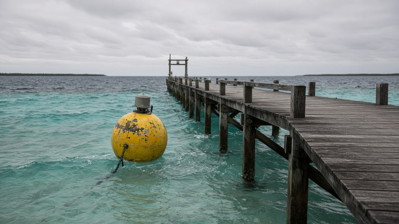
Central Weather Administration technicians installed a small cluster of marine heatwave monitoring buoys off Dongsha Atoll this month, feeding sea-surface temperature anomaly data to public dashboards with published sensor depth limits and maintenance windows. CWA disclosed buoy positions and sampling intervals in a technical notice reviewed by InfoHandle; the deployment responds to September bleaching stress alerts near research piers, not a claim that remote sensing replaces diver surveys.
What was measured
Buoys record sea-surface temperature at one-meter depth every ten minutes, compared against a thirty-year baseline CWA maintains for the South China Sea shipping corridor. Anomaly flags trigger when readings exceed the baseline by thresholds the administration published alongside known false-positive rates from afternoon solar heating. Paired conductivity sensors salinity for mixing context but are not calibrated for fine-scale reef microhabitats.
Effect size and limits
Early September data showed multi-day anomalies above the heatwave definition CWA adopted from international marine heatwave literature—useful for patrol planning, not proof of mortality across all reef zones. Dongsha's shallow lagoons can heat faster than open-water buoys capture; researchers explicitly warn that pier-adjacent sensors under-sample patch reefs hundreds of meters away.
What authors do not claim
CWA does not attribute bleaching to a single climate driver in the release, nor predict fishery yields. Ocean Affairs Council conservation rules still govern diving and specimen collection; buoys do not automate fishing closures.
What happens next
National Museum of Marine Science and Technology collaborators will cross-validate buoy readings with monthly diver photo transects through December. If anomaly persistence exceeds six weeks, OAC may expand no-anchor buffers near research moorings—a management step contingent on cabinet review, not automatic algorithm output.
Emily Park's desk treats the deployment as incremental ocean observation: meaningful for agencies coordinating heat stress response, not a lifestyle headline about "saved reefs." The honest read is tighter measurement where Taiwan maintains a scientific footprint—with clear limits on what a handful of buoys can see across a wide atoll rim.
Power and maintenance
CWA engineers documented solar charging cycles and vandalism risks on remote moorings; typhoon swells can submerge sensors beyond their rated depth bands, requiring post-storm recalibration before anomalies re-enter public feeds. Data gaps during the latest squall were flagged on the dashboard rather than interpolated—a choice researchers requested to avoid false confidence.
Comparison with satellite SST products showed buoys detected sharper daily spikes than coarse orbital passes, validating local deployment without proving satellite redundancy is obsolete. Patrol teams will use feeds to schedule diver visits when anomalies persist, conserving boat fuel instead of fixed-calendar surveys.
Data access and uncertainty
CWA published error bars on nightly anomaly summaries after researchers argued that single-decimal temperatures mislead policymakers. Open JSON feeds include quality flags when sensors foul with biofouling—a routine maintenance issue on warm reefs that can mimic heat spikes until divers scrape housings.
Other Pacific administrations run similar buoy programs; Taiwan's contribution is continuity near a staffed research station where ground truth photos can calibrate models. Exporting feeds in interoperable formats helps regional climate centers test whether heatwaves align across the South China Sea, but cross-basin comparisons are research tools, not fishing quotas.