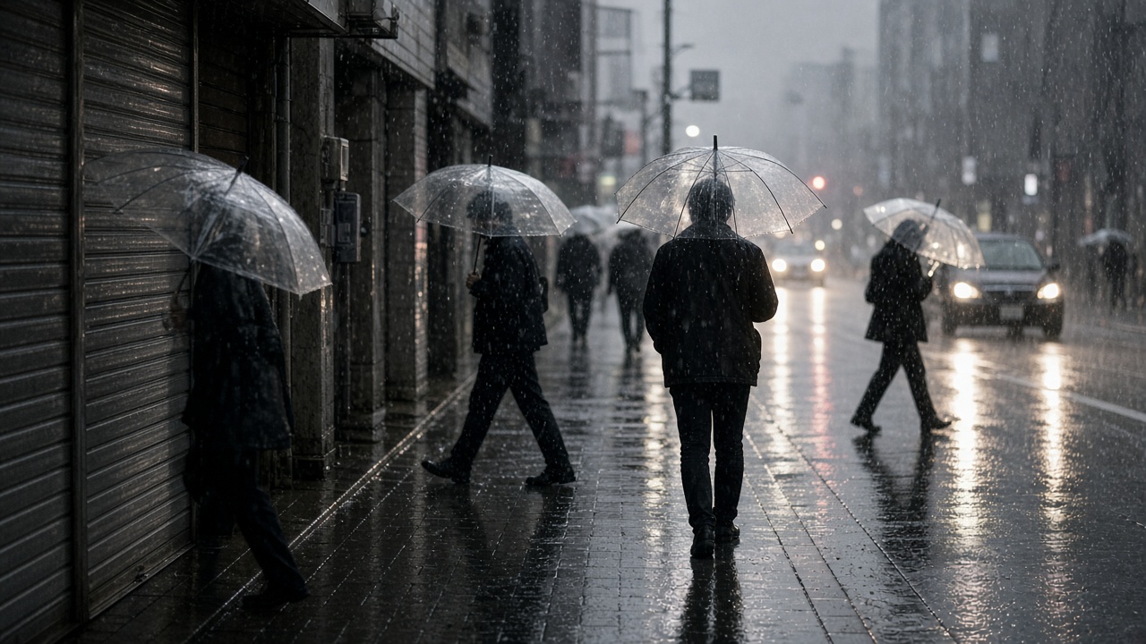
Typhoon Dujuan, the 25th named storm of the year, bore down on eastern Japan on Monday with winds near 144 kilometers per hour, forcing the Japan Meteorological Agency to issue a Level 5 landslide special warning for Oshima town in the Izu Islands and Level 4 alerts across parts of Tokyo, Chiba, Kanagawa, and Shizuoka prefectures. More than 1.6 million residents received evacuation advisories as Silver Week holiday travel collided with record rainfall forecasts of up to 300 millimeters in the Kanto region through Tuesday.
Authorities said heavy rain had already triggered mudslides in Chiba and Kanagawa, injuring at least one person and damaging eight homes according to the Fire and Disaster Management Agency. Landslide rescue teams were searching for another resident whose house was hit near the capital, Kyodo News reported. Smartphone alerts ordered elderly residents in Tokyo’s Meguro ward to shelter in designated schools as rivers running through dense neighborhoods rose toward flood stage.
Transport paralysis
Japan Airlines canceled 135 flights and All Nippon Airways scrapped 140, while aviation trackers counted nearly 500 cancellations at Haneda and Narita alone. Some Tokaido commuter and bullet-train segments suspended service as operators cleared lines for wind inspections, though core Tokyo–Osaka Shinkansen service remained operational in late-morning updates. More than 9,000 households near Tokyo lost power as gusts snapped tree limbs onto distribution lines.
The storm’s track placed the eye roughly 130 kilometers south of Katsuura City on the Boso Peninsula at midday, moving north-northeast at about 20 kilometers per hour with central pressure near 965 hectopascals. JMA forecasters warned that rain bands wrapping the typhoon could dump a month’s worth of September precipitation in 24 hours, a combination that has produced deadly urban flooding in past seasons.
Holiday crowds in harm’s way
Silver Week, a string of public holidays through Wednesday, had filled coastal resorts and mountain trails just as Dujuan intensified over warm Pacific waters. Municipal officials urged travelers to abandon outdoor plans and avoid underground parking structures where water can trap vehicles. Event organizers in Yokohama and along the Izu coast postponed festivals, citing wind thresholds that exceed safety standards for temporary stages.
In Oshima, the Level 5 alert covered all 1,901 households on the island, a rare blanket warning indicating disasters may already be unfolding. Ferry operators suspended several Izu routes, complicating evacuation for residents who cannot reach higher ground quickly.
What forecasters watch next
JMA said Dujuan is expected to brush the Kanto coast Monday night before accelerating east, but residual rain could linger into Tuesday across Tohoku’s Pacific flank. Emergency managers asked residents to monitor river cameras and local siren networks rather than waiting for mandatory orders, noting that Level 4 warnings already imply life-threatening landslide risk on saturated slopes.
For Tokyo’s metropolitan government, the test is whether drainage upgrades since earlier typhoons can handle simultaneous cloudbursts across multiple wards. For households in the Izu chain, the immediate priority is vertical evacuation before dark. The typhoon’s name will be retired if damage warrants, but Monday’s bulletin already placed this storm among the most disruptive of a hyperactive season fueled by warmer seas.