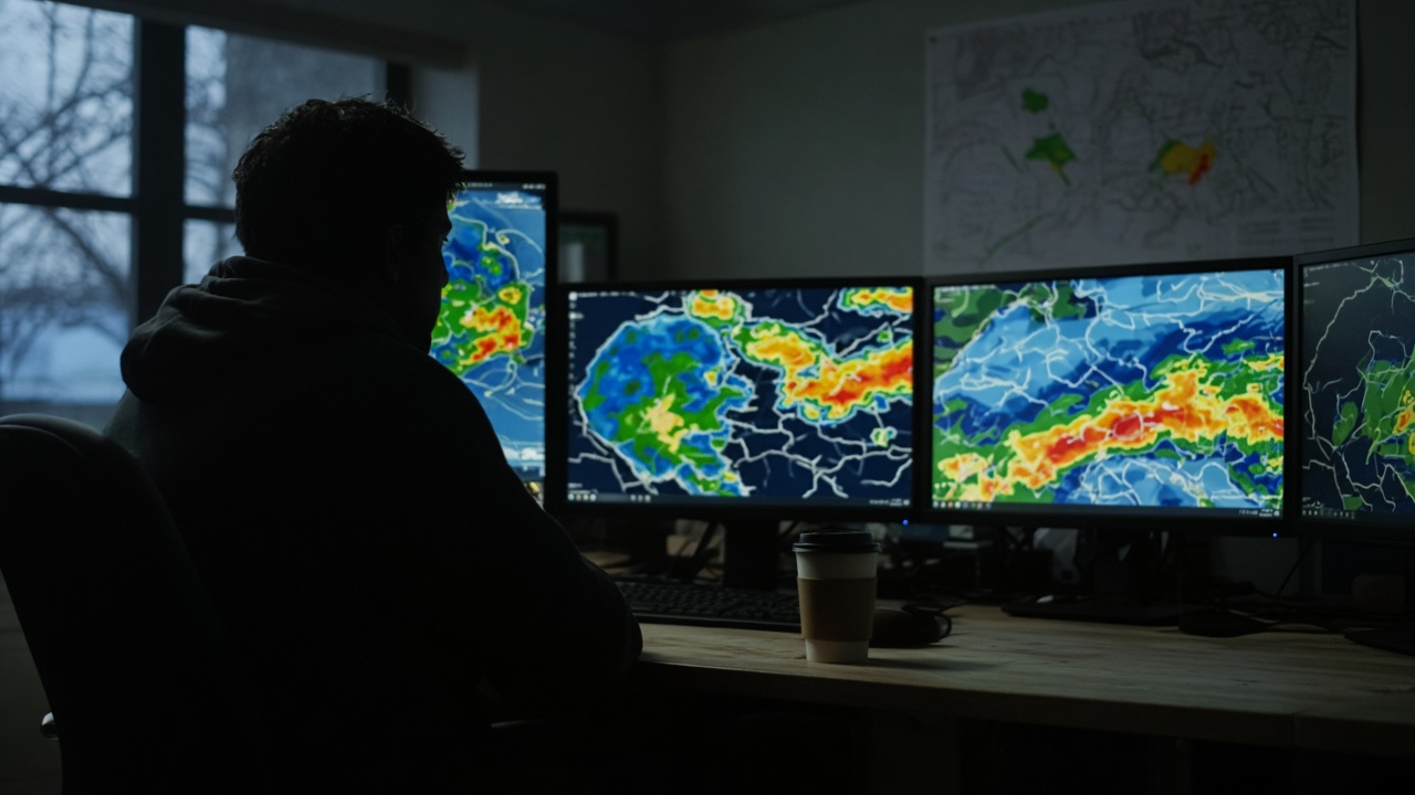
Taiwan’s Central Weather Administration said Monday that Mid-Autumn Festival skies should stay stable enough for moon viewing through Friday, even as forecasters watch tropical disturbance 91W east of Guam that could become Typhoon Surigae and move toward waters near Taiwan by Sept. 28. The dual message—clear evenings now, uncertain late-holiday rain—is typical of autumn handoffs between seasonal winds and Pacific heat.
What the short-range forecast shows
Forecaster Huang En-hung told CNA that northeasterly flow Tuesday brings brief showers to southern plains and central mountains, while most lowlands stay partly cloudy to sunny. From Sept. 23 through the holiday, high temperatures remain hot inland, with isolated afternoon showers on eastern slopes and the Hengchun Peninsula. Nighttime lows in the north dip to about 22–24 degrees Celsius before the holiday, comfortable for outdoor gatherings if wind stays light.
Where 91W sits in the pipeline
The disturbance, designated 91W in U.S. Joint Typhoon Warning Center tracking, is organizing east of Guam. CWA expects it to become a tropical depression by Sept. 23–24 and potentially reach typhoon strength—internationally named Surigae and listed as the season’s 25th storm if it matures on schedule. Model spreads still diverge on whether the system turns north toward the Ryukyus or crosses the Basi Channel after Sept. 28, which determines whether Taiwan sees peripheral rain or direct wind.
Holiday planning versus watch mode
Through Sept. 26, forecasters rate moon-gazing prospects as good in most urban areas, with only occasional clouds along the east coast. From Sept. 27 onward, moisture ahead of the system could bring localized showers to eastern Taiwan and Kenting, even if the typhoon center stays offshore. CWA urged travelers to Japan to monitor Typhoon Dujuan separately, with Kanto wind and rain peaking midweek—a reminder that Mid-Autumn travel plans span two basins.
Officials have not issued a land warning for Surigae; mariners should watch sea state updates as long-period swells arrive later in the week. Households can barbecue tonight but should keep a folded rain plan before returning from outlying islands Sunday.
What forecasters will watch overnight
CWA said it will issue tropical cyclone advisories once the circulation tightens enough for a consistent track consensus—likely midweek if 91W develops on schedule. Until then, probabilistic cones will shift with each model run, which is normal for storms still thousands of kilometers east of Taiwan. Emergency managers reminded county teams to refresh typhoon shelter lists even during clear skies, because Mid-Autumn travel puts more cars on east-coast highways that can close quickly if landslide alarms follow heavy rain.
Science agencies separately monitor Typhoon Dujuan’s recurvature toward Japan; the two systems are independent, but airlines routing through Tokyo and Manila should check both when booking return legs after moon viewing.