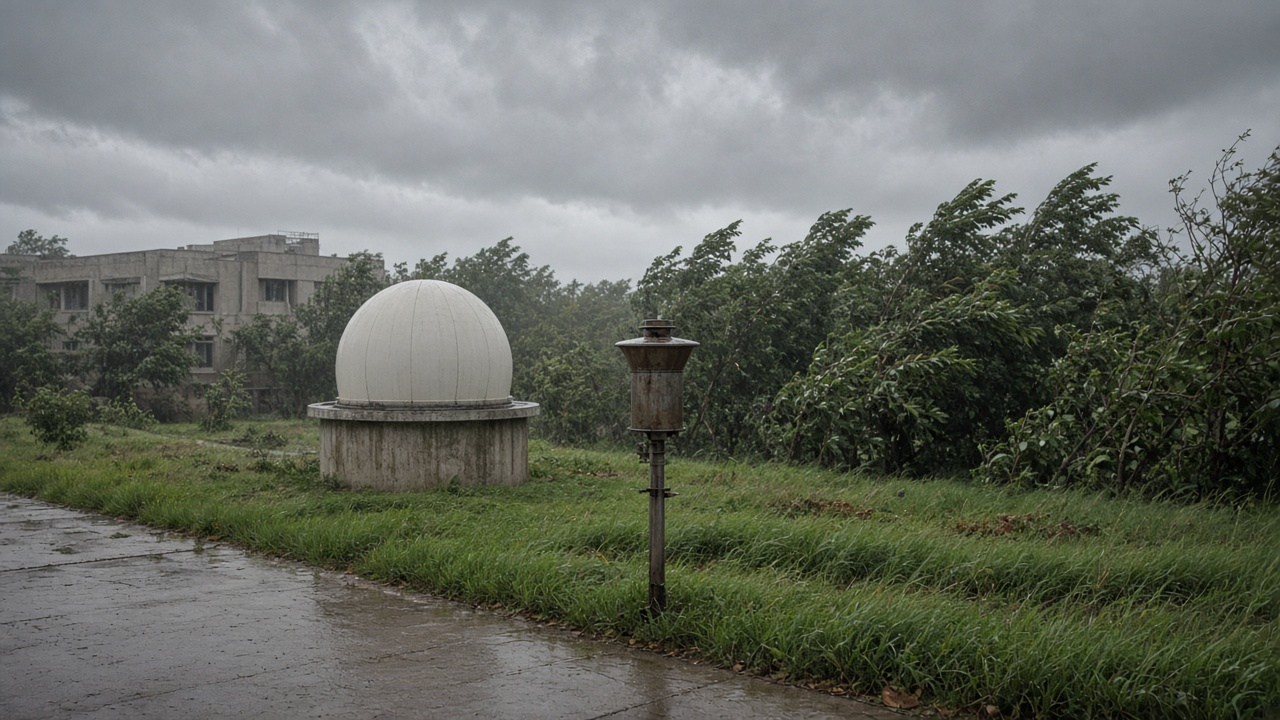
The India Meteorological Department announced Tuesday that the southwest monsoon withdrawal line crossed Nagpur even as a late-season low-pressure system intensified over the Bay of Bengal, pulling moisture back into Vidarbha and coastal Odisha—a split screen between ceremonial retreat markers and rainfall that farmers still measure in millimetres, not map boundaries.
What IMD measured
IMD’s withdrawal criterion requires sustained dry spells over northwest India before the line advances; this season’s late September heat pockets met that threshold even while central India saw renewed convection. Nagpur observatory logged 38 mm in the 24 hours ending Tuesday morning, yet the synoptic chart placed the city west of the withdrawal isopleth—an apparent contradiction IMD scientists said is common when retreat proceeds aloft before surface rains end.
NCMRWF ensemble runs show the low drifting northwest, keeping thunderstorm probabilities above climatology through Friday. The model does not yet signal a full monsoon revival—only a delayed tail that complicates kharif harvest timing for soy and cotton belts.
Limits of the withdrawal line
Agricultural universities caution that withdrawal maps describe large-scale circulation, not field-level soil moisture. Central Water Commission reservoir tables still show above-normal storage in several Mahanadi tributaries; Vidarbha tanks remain mixed. Replication at Indian Institute of Tropical Meteorology labs will test whether this year’s late lows match 2019’s post-withdrawal deluge pattern or a shorter pulse.
What forecasters still watch
IMD has not upgraded the low to a deep depression; coastal Odisha disaster teams remain on standby for wind, not cyclone landfall. Satellite-derived cloud top temperatures suggest moderate convection—not the organized vortex that would rewrite withdrawal dates nationwide.
What happens next
If the low weakens by weekend, withdrawal will resume toward Marathwada and Gujarat per the climatological calendar. If it deepens, expect revised extended range outlooks and possible crop damage assessments in districts that already booked early rabi sowing. For scientists, the lesson is procedural: publish withdrawal with footnotes about active systems so policymakers do not treat the line as an off-switch for monsoon readiness.
Late-season lows after Nagpur crossings are not anomalies—they are reminders that Indian monsoon exits are messy timelines, not single press releases.
Field replication and crop stakes
Panjabrao Deshmukh Krishi Vidyapeeth agronomists told InfoHandle they will compare late-season rainfall against pod moisture readings in soybean plots east of Nagpur—data IMD’s withdrawal bulletin does not capture. Odisha disaster managers rehearsed reservoir release rules should the low strengthen; CWC dashboards already show Mahanadi inflows rising modestly, not at flood-stage spikes seen in 2020.
Replication at IITM Pune will test whether this Bay low’s moisture transport matches archived “withdrawal week” cases from the 2010s. Early results suggest a two-to-three-day pulse rather than a reopened monsoon trough—a distinction that matters for crop insurance claims tied to withdrawal dates rather than local rain gauges.
Communication gap
IMD’s public app still pushes withdrawal headlines without pairing them to active system advisories—a UX gap state agriculture hotlines asked the ministry to fix before rabi planning meetings. Scientists defended the science as sound; communicators admitted farmers hear “withdrawal” as “dry,” not “circulation milestone.”