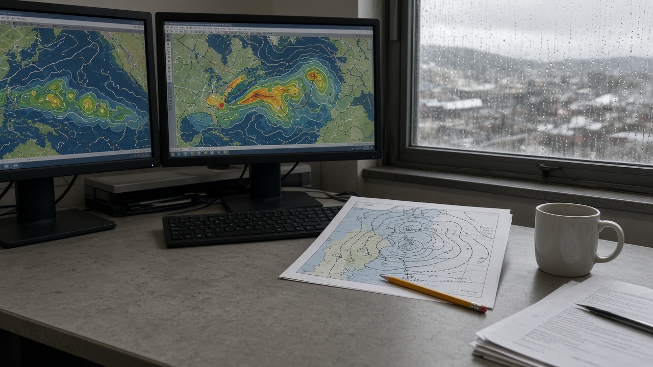
The Met Office issued a technical briefing on Tuesday highlighting elevated early-autumn North Atlantic storm-cluster risk after sea-surface temperatures west of Ireland averaged 1.8 degrees Celsius above the 1991–2020 baseline in mid-September, supplying extra energy to low-pressure systems that forecasters say could bring a run of named storms toward UK coasts within two weeks.
What the data show
September SST anomalies in the main development region west of the British Isles rank in the upper decile of post-1991 records, according to the Met Office’s merged satellite and buoy analysis. Warm surface layers extend to depth in some transects off the Rockall Plateau, reducing the ocean heat flux barrier that normally weakens Atlantic depressions before they reach Ireland and Scotland. Ensemble runs from the global model show a higher-than-climatology probability of three or more consecutive windstorms crossing 55°N between late September and mid-October—a “cluster” pattern associated with insurance losses in 2013 and 2023.
Methods and limits
The briefing blends OSTIA satellite retrievals with Met Office buoy network QC; it does not yet ingest Gulf Stream shift proxies updated in real time. Scientists stress that warm SST alone does not guarantee landfall—blocking highs over Scandinavia could still deflect systems into the Norwegian Sea. Confidence intervals widen beyond day ten; the cluster signal is probabilistic, not a named-storm schedule.
Attribution to climate change is handled separately; operational forecasters will not cite human forcing in this product. Replication would require independent SST analyses—CEH collaborators review Met Office fields but have not published a divergent September mean.
What forecasters will not claim
The Met Office is not naming storms today or issuing amber wind warnings for specific counties. Emergency planners should treat the briefing as a heads-up to check tree-trimming contracts and coastal flood gates, not as proof that the first named system will hit Cornwall on a fixed date. Seasonal public messaging on resilient travel remains unchanged until deterministic tracks appear five to seven days out.
Policy and resilience context
The Environment Agency said flood teams are in autumn readiness posture; warm seas elevate coastal surge components even when rainfall stays moderate. Network Rail engineers receive the same SST anomaly maps to prioritise drainage clears on Atlantic-facing cuttings. Insurers monitoring storm clusters will watch whether the 1.8°C anomaly persists into October—persistence matters more than a single weekly spike for reinsurance layers.
What households should verify
Sign up for Met Office and EA alerts; check travel insurance for storm disruption clauses before booking half-term ferries. Coastal campers should note that warm SST can strengthen post-tropical systems that look benign on pressure charts until they cross 50°N.
Science read-through
North Atlantic hurricane seasons have been hyperactive in 2026; remnants and hybrid lows that miss the Caribbean can still exploit warm eastern Atlantic water on paths toward the UK. The Met Office briefing does not predict damage totals—it states measured ocean heat, elevated cluster odds, and the operational window when deterministic forecasts will matter. Until then, the honest summary is: seas are unusually warm, models favour serial autumn storms, and planners should prepare without panic-selling October as a washout.