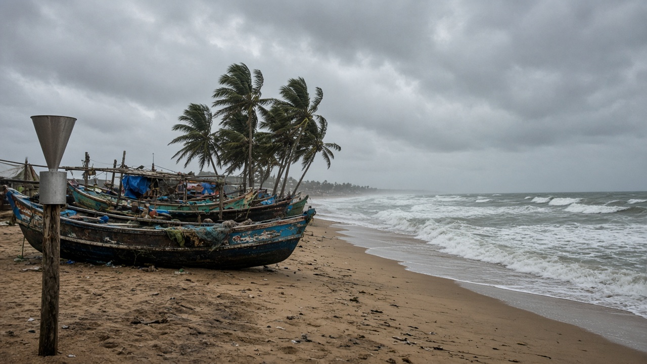
A deep depression over the Bay of Bengal crossed the north Andhra Pradesh–south Odisha coast close to Kalingapatnam during the night of September 23–24, the India Meteorological Department said, after hours of heavy rain along the shoreline and interior Odisha. The system did not intensify into a cyclonic storm, but forecasters warned it would weaken slowly while still pumping moisture into Telangana, where isolated extremely heavy falls were likely on September 24 and 25.
Track and intensity
IMD bulletins on September 23 placed the centre west-northwest of Visakhapatnam, moving at roughly 7–12 kmph toward the coast between Visakhapatnam and Gopalpur. Cyclone Warning Centre officials in Visakhapatnam told The Hindu the depression would cross at its current strength rather than strengthen into a named cyclone—a relief for disaster managers who still prepared shelters and power-restoration crews.
Wind warnings covered squalls reaching 50–60 kmph, gusting higher along the coast, with thundersqualls flagged for Andhra and Telangana through September 24. Mariners were advised to avoid the west-central Bay until the system dissipated inland.
Telangana alerts
For Thursday, IMD issued a red alert for Kumaram Bheem Asifabad, Mancherial, Jayashankar Bhupalapally, Mulugu and Bhadradri Kothagudem districts, signalling very heavy to extremely heavy rain at isolated places. Eight other districts sat on orange alert, with yellow warnings across Hyderabad’s wider region. The state disaster response force pre-positioned boats in known flood pockets along the Godavari tributaries.
Hyderabad’s city forecast called for cloudy skies, moderate rain or thundershowers, gusty winds, and highs near 30°C—conditions that stress stormwater drains still clearing silt from earlier monsoon pulses.
Andhra and Odisha impacts
Before landfall, Palasa in Srikakulam recorded 141 mm in 24 hours, with multiple north-coast stations above 110 mm, The Hindu reported. Koraput in Odisha saw even higher totals, including 230 mm at Simliguda. Red alerts covered five Andhra districts through Thursday morning, stepping down to orange as the depression moved inland.
Officials suspended beach tourism and warned fishing communities to stay ashore. Power utilities staged linemen near coastal substations vulnerable to salt spray and fallen palms.
What science teams watch next
IMD expects the depression to weaken to a well-marked low over Chhattisgarh and adjoining Telangana, prolonging rainfall even after winds ease. Hydrologists will track reservoir inflows on the Godavari and Krishna basins; farmers in Telangana’s cotton belt face lodging risk if downpours coincide with harvest prep.
Climate attribution is not part of this bulletin cycle, but the pattern—warm Bay waters feeding late-September depressions—is familiar to IMD’s extended range group. For residents, the actionable read is district-colour specific: red means stay off flooded roads, not just carry an umbrella.
Airport operators in Visakhapatnam and Bhubaneswar monitored crosswinds through the night; railway zones cancelled a handful of coastal services as a precaution. IMD’s press release PDF dated September 23 remains the authoritative rainfall grid for district magistrates updating night shelters.