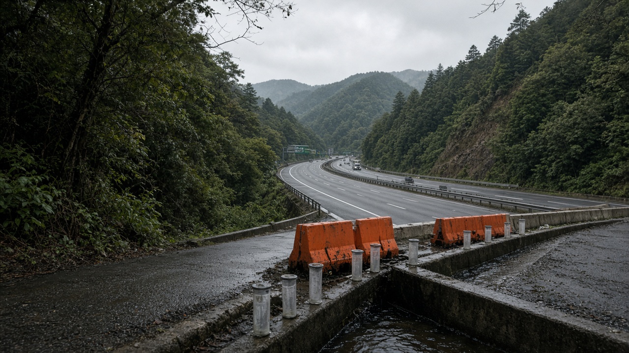
The Japan Meteorological Agency extended heavy rain warnings Wednesday for watersheds above the Utsunomiya corridor in Tochigi Prefecture, where Typhoon Dujuan’s lingering moisture left hillside gauges above advisory thresholds even as coastal Chiba recovery dominated evening news. Sora Matsumoto’s science desk tracked the bulletin because shallow slides along cedar plantation edges can sever National Route 4 alternates Silver Week drivers use when Shinkansen delays stack—without a named typhoon still on the map.
What instruments show
Automated rain gauges in the Kinugawa and Tagawa headwaters recorded hourly intensities that, combined with antecedent soil wetness indices, satisfied JMA criteria for heavy rain warnings rather than lesser advisories. Radar nowcasts suggested training thunderstorms through Thursday night—enough to push marginal slopes without exceptional totals.
NIED collaborators supplied shallow probes showing root-zone saturation persisting forty-eight hours after peak Kanto rainfall, longer than post-typhoon averages because upstream retention ponds remained high while municipal pumps caught up from outage-related delays.
Warning versus evacuation
Heavy rain warnings signal meteorological risk bands; municipal evacuation orders still require local judgment on historical slide paths. Tochigi prefecture opened overnight patrols on known corridors pairing firefighters with road crews clearing drains before holiday traffic climbs into Nikko-bound routes.
JMA will not downgrade warnings until gauges fall below internal hysteresis thresholds—avoiding flip-flop alerts that desensitize residents after counterfeit evacuation messages police prosecuted elsewhere this week.
Effect size and limits
Warnings cover broad polygons, not household-level predictions. Individual ravines may fail below published hourly rates if regolith cracked during earlier typhoon landslides the Environment Ministry is surveying. JMA does not estimate property loss per warning—only relative risk gradients science officers explain in prefectural webinars.
What agencies do next
Tochigi suspended night construction on embankment segments flagged in post-Dujuan inspections, keeping heavy trucks off saturated fills. Schools on revised calendars after nearby campus outages will keep students indoors during warning hours even if midday skies brighten—a conservative call science staff support when soil water indices lag visible sunshine.
What drivers should not assume
Shinkansen green timetables do not imply all hillside roads are safe; JR East reopened tracks while prefectural routes may remain one-lane near barriers. Do not rely on forwarded chat images for shelter maps—use municipal PDFs tied to JMA codes.
Science here informs caution, not panic: warnings buy time for drain maintenance and honest detours while crews restore pumps that keep ponds from overtopping. If Thursday storms underperform, warnings may downgrade Saturday—freeing Silver Week hikers only where gauges, not optimism, justify it.
Research follow-through
NIED scheduled portable lidar on two Tochigi slopes after warnings lift, comparing canopy loss from Dujuan against prior typhoon scars. Data will feed prefectural bond requests for retaining walls—not weekend navigation apps. JMA planned a Friday webinar for municipal disaster staff on reading soil-water dashboards; dull meetings matter more than social posts guessing slide odds.
Companion geology papers caution that shallow slides differ from deep-seated failures; warnings target the former common along plantation edges commuters drive past without reading advisory codes. Sora Matsumoto’s lens is measurement and limits, not fear merchandising.