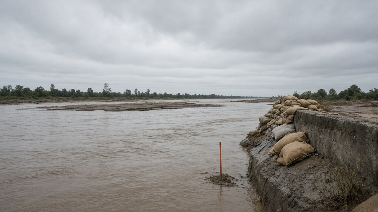
When the Yamuna peaked at 208.66 metres during Delhi’s July 2023 flood, city managers tracked depth and evacuation corridors; a new integrated model from Indian Institute of Technology Roorkee researcher Rahul Deopa and supervisor Dr Mohit Mohanty, described in a Journal of Hydrology paper and a DHI technical brief, argues that depth-only hazard maps can mis-rank neighbourhoods because microbial contamination and quantitative microbial risk assessment can point to shallower but dirtier reaches near major drain outfalls.
What the model couples
The framework links one-dimensional river hydraulics, two-dimensional overland flow, and Delhi’s drain network in MIKE+, then runs E. coli fate and transport in MIKE ECO Lab on the same mesh and timestep. Satellite water-surface temperature and machine learning extend sparse bacterial observations across the 22-kilometre study reach from Wazirabad to Okhla—a stretch that hosts sixteen major drains and carries a disproportionate pollution load relative to the Yamuna’s total length.
Deopa told DHI interviewers that flood-time sampling is hazardous and often arrives too late, which motivated a simulation chain that ends in infection probability for adults and children rather than stopping at inundation polygons.
Health risk versus hydraulic depth
A key finding is divergence: roughly two-thirds of the floodplain fell into the highest depth hazard classes, yet the deepest reach was not always the most contaminated. Upstream segments near drain discharges showed higher E. coli concentrations, implying wading exposure could be riskier where water looked less dramatic on a conventional flood map.
Children faced higher infection probabilities than adults in the quantitative microbial risk layer—a planning input for shelter placement and clean-water prioritisation, not just embankment height.
Limits and replication
The study is calibrated to 2023 geometry and discharge records; future urbanisation or drain remediation would require re-meshing. Cities without MIKE licences still benefit from the conceptual lesson: couple hydrology, water quality, and health endpoints before issuing “all clear” messages when waters recede.
For Delhi’s disaster response agencies, the actionable read is to treat post-flood public-health messaging as seriously as reservoir bulletins—especially in colonies where residents returned to mop silt before bacterial counts were published.
What other cities can borrow
DHI’s summary notes that flood-prone municipalities often already own terrain, drainage, and discharge archives; adding calibrated outfall bacteria data is the main incremental cost. Warnings could eventually cite infection-risk tiers alongside depth, changing which blocks evacuate first.
Climate planners debating floodplain zoning for schools and clinics should weigh combined flood-health indices, not only FEMA-style depth contours transplanted without Indian drain density. IIT Roorkee’s chain is Delhi-specific, but the mismatch between deepest water and dirtiest water is a pattern monsoon cities from Patna to Chennai should test before the next embankment breach headline.