Researchers at the University of Tokyo’s Earthquake Research Institute and partner labs released updated stress-transfer estimates Thursday for faults beneath the Noto Peninsula, after a week-long aftershock cluster shook Ishikawa Prefecture communities still rebuilding from the January 2024 main shock. Sora Matsumoto’s science desk treats the bulletin as a mechanics update—where Coulomb stress may have risen on named segments—not as a timed prediction homeowners should trade on.
What the models add
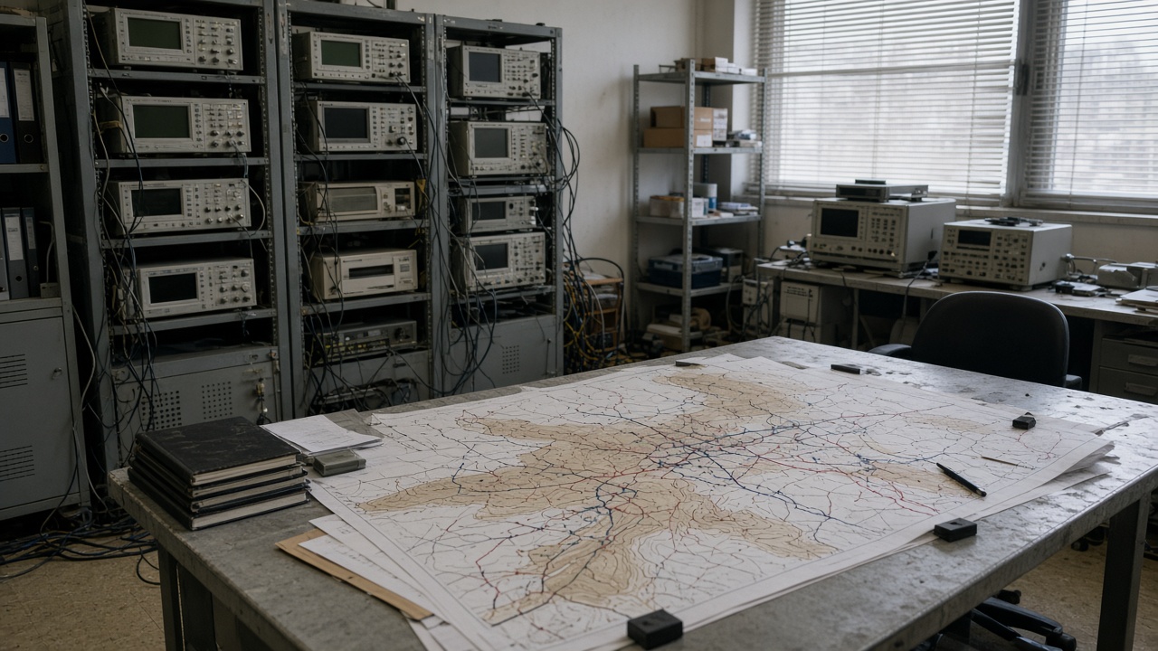
The team combined relocated aftershock catalogs, GNSS creep measurements, and post-mainshock coastal uplift data to recalculate how the recent cluster redistributed stress along the Noto fault system’s branching segments. Published figures highlight two coastal-adjacent sections where stress change estimates moved upward relative to pre-cluster baselines, while inland segments showed smaller adjustments within historical uncertainty bands.
JMA’s earthquake information pages logged dozens of felt events above magnitude thresholds Ishikawa residents track on municipal apps; science officers stress that aftershock frequency alone does not map one-to-one onto future mainshock probability without full ensemble modeling the paper documents in technical supplements.
Limits science owes the public
Stress-transfer maps answer “where the crust loaded” after observed earthquakes; they do not answer “when the next large rupture fires.” NIED collaborators noted that shallow aftershocks near damaged housing zones can trigger landslides and utility outages even when broader fault segments remain below failure thresholds—hazards prefectural engineers prioritize over headline magnitudes.
Matsumoto’s lens is transparent uncertainty: error bars on slip models, alternative geometries tested when offshore segments lack bathymetric detail, and explicit statements that the cluster could decay without producing a larger event.
What prefectures do with the numbers
Ishikawa disaster prevention offices said they will cross-check the stress bulletin against building inspection queues and temporary housing siting maps—not reopen evacuation zones wholesale. Coastal municipalities may accelerate seawall sensor maintenance where combined tsunami and shaking scenarios already sat in recovery bond requests.
What residents should not do
Do not treat social posts translating stress maps into countdown clocks as official guidance. Use JMA and prefectural alert apps for shaking and tsunami warnings; use technical papers to understand why planners revisit construction standards—not to time market trades or cancel travel.
Science follow-through includes portable arrays NIED scheduled to redeploy after the cluster subsides, comparing aftershock decay rates with pre-2024 catalogs. Dull instrumentation trips matter more than viral magnitude screenshots.
Research ethics after disaster
Earthquake Research Institute teams coordinated briefings for Ishikawa officials before English summaries posted, reducing the chance municipalities learn of stress changes from television first. Rebuilding contractors asked whether new numbers alter liquefaction surveys for harbor works; researchers answered that site-specific geotech still beats regional stress coloring alone.
Matsumoto will update if peer review versions add segment names or revise uncertainty; the story is measurement discipline after a real cluster, not fear merchandising.