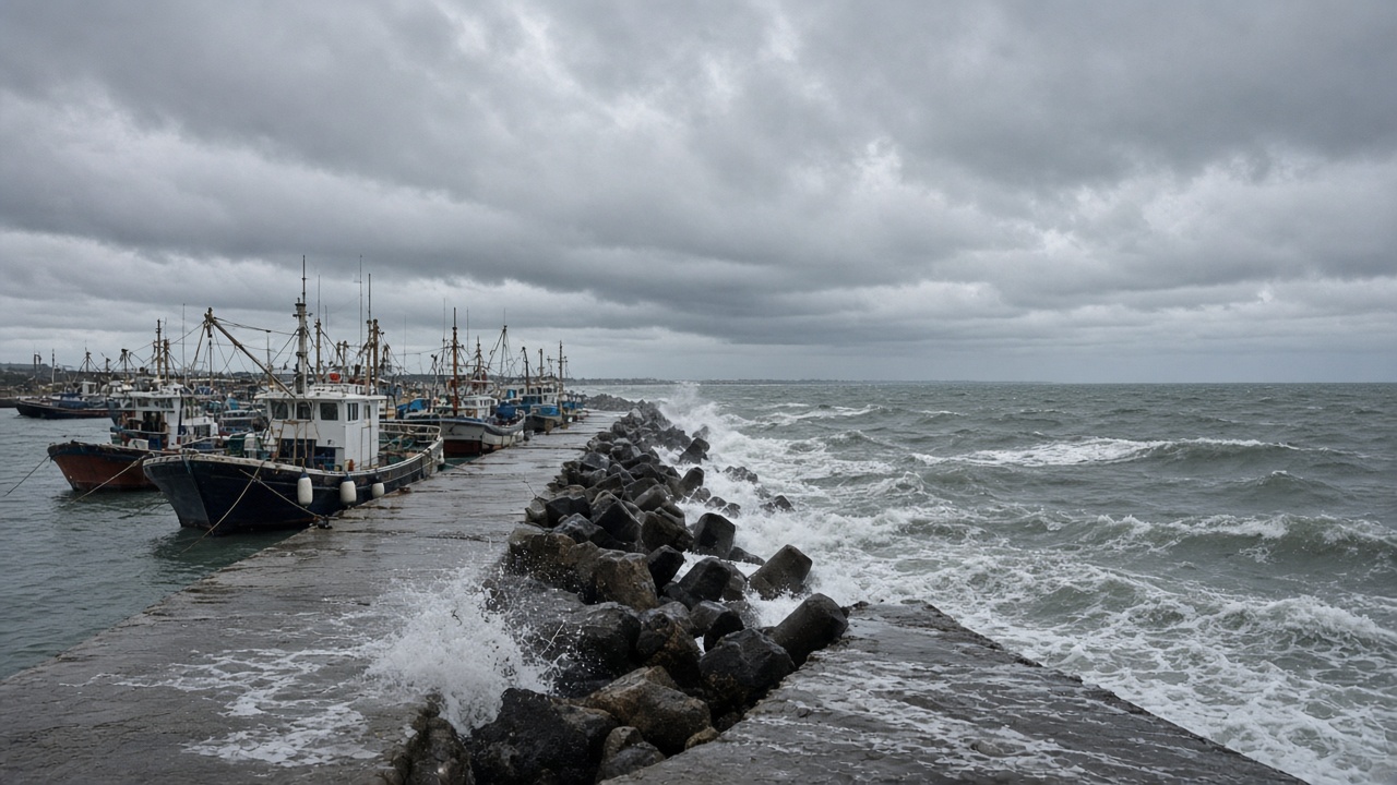
Typhoon No. 26 strengthened as it edged toward Okinawa on Saturday, and Japan’s Meteorological Agency said the system is likely to approach the Amami region and Okinawa as a strong typhoon through Monday, bringing swells that could reach seven metres and wind gusts up to 35 metres per second.
In its early Sunday bulletin, the agency placed the storm about 250 kilometres south of Naha, moving north-northeast at roughly 15 kilometres per hour with a central pressure near 980 hectopascals and maximum sustained winds around 35 metres per second. Forecasters warned that the slow approach could prolong high waves, strong winds and heavy rain across the southwestern islands before the track turns uncertain toward mainland Japan later in the week.
Marine warnings across the island chain
General weather commentary issued for Typhoon No. 26 urged residents in Okinawa to stay alert for storm surges, landslides, lowland flooding and rising rivers through at least 29 September. Wave-height projections called for six- to seven-metre seas around Okinawa on Sunday and Monday, with four- to five-metre swells affecting the Amami archipelago as the typhoon’s wind field expands.
NHK reported that damaging winds could arrive as early as Sunday across Okinawa and the Daito Islands, with meteorologists cautioning that a delayed northward turn would lengthen exposure to gale-force conditions. Television forecasts noted that coastal roads on Okinawa’s east and south shores could see three-metre breakers even before the closest approach, complicating ferry schedules and airport operations that serve smaller outer islands.
Preparations on a compressed clock
Local governments typically shift disaster headquarters to extended hours when the agency issues typhoon-specific commentary, and Okinawa Prefecture asked residents to secure outdoor equipment, stock several days of water and confirm evacuation sites before mobile networks congest. Because the storm’s forward speed is modest, officials said households should plan for multi-day disruptions rather than a single overnight blast.
FNN Prime reported that the typhoon, internationally known as Surigae, may develop further over warm Pacific waters before brushing the Daito group, where elevation is low and storm surge can travel quickly across atolls. While mainland prefectures are not yet within the core wind probability cone, forecasters stressed that small track shifts could still bring heavy rain to Kyushu if the system recurves after passing Okinawa.
Japan Airlines and other carriers historically cancel or consolidate Okinawa flights when sustained winds exceed operational limits, and port managers were advised to shorten mooring lines and move fishing boats inland. Power utilities in the region have staged repair crews on Okinawa’s main island to respond to downed lines without waiting for aircraft from Honshu.
Residents were told to monitor updated agency bulletins every few hours rather than relying on single-track graphics, because recent seasons have produced abrupt turns once typhoons interact with mid-latitude weather systems. For now, the immediate risk is maritime: fishermen, surfers and inter-island ferry passengers face the highest danger from building swells that precede the typhoon’s centre by a full day.