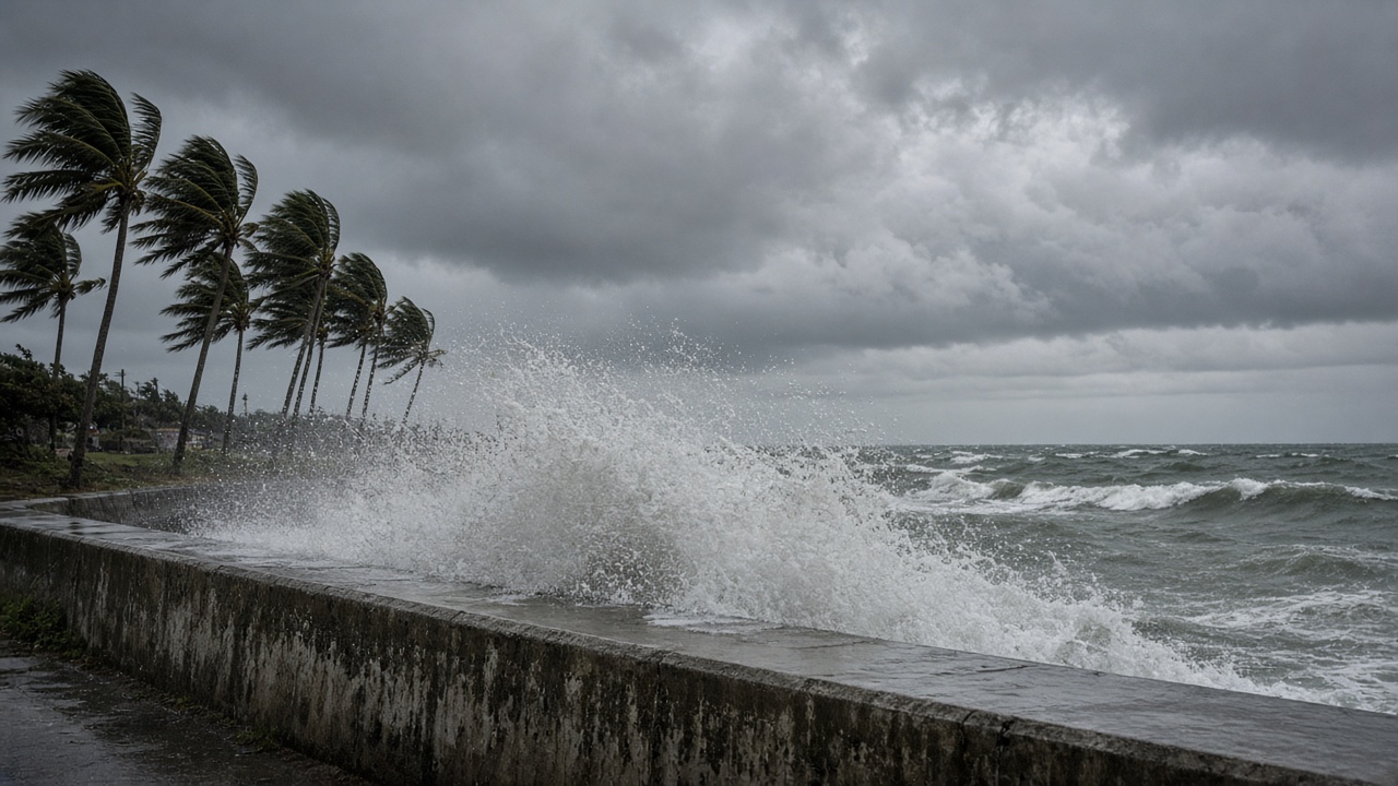
Strong Typhoon 26—international name Surigae—has entered the strong-wind band around Okinawa’s main island, and Japan’s Meteorological Agency says the storm will intensify further while moving slowly northeast toward the Nansei Islands through Tuesday, September 29. Because the cyclone’s forward speed is only about 10 to 15 kilometers per hour, forecasters warn that gale-force winds and high seas could linger for days rather than sweep through in a single overnight hit.
Where the storm sits now
In its 5:15 a.m. general weather commentary on Sunday, the agency said Typhoon 26 was about 250 kilometers south of Naha at 3 a.m., packing maximum sustained winds near the center of 35 meters per second and gusts up to 50 meters per second. Weather News, using satellite and surface observations, reported that Okinawa’s main island entered the typhoon’s 15-meter-per-second wind field shortly after 6 a.m. Sunday, with southern coastal areas already recording double-digit average winds and seas above six meters near the center.
Private forecaster Weathernews said the storm could deepen to about 955 hectopascals with 45-meter-per-second winds late Sunday south of Okinawa before easing back to “strong” intensity on Monday as it drifts between Okinawa Island and the Daito group.
What JMA is warning residents to expect
The agency’s wave forecast calls for six-meter seas with heavy swells in the Okinawa region on Sunday, building to seven meters on Monday, with four- to five-meter swells in the Amami chain. Wind forecasts show 23-meter-per-second gales—35-meter-per-second gusts—across Okinawa on Sunday and Monday, with Amami facing similar peak gusts by Tuesday.
Officials are also flagging landslide, flood and river-rise risks through Monday as outer rain bands rotate over steep island terrain. The agency’s third bulletin on the storm urged people in the Nansei Islands to stay alert for high waves through Tuesday and to prepare for violent winds, especially around the Daito Islands on Monday when the typhoon’s closest approach is expected.
Travel and infrastructure stakes
Airlines serving Naha and the remote Daito airports typically cancel or consolidate flights once sustained winds cross operational limits; ferry operators serving the Sakishima and Amami routes were already advising passengers to monitor Sunday evening sailings. Okinawa Prefecture’s disaster-management office has not ordered a blanket evacuation, but municipal governments along eastern coastlines were opening shelters for residents in low-lying homes ahead of Monday’s peak swell.
Because the storm is forecast to turn east-northeast after passing Okinawa, forecasters at RCC Hiroshima and other regional broadcasters cautioned that a revived autumn rain front over mainland Japan could interact with the typhoon’s moisture early next week, raising the possibility of heavy rain along the Pacific side even if the center stays offshore.
How long the risk lasts
JMA’s track guidance shows Typhoon 26 maintaining typhoon strength while moving over the seas south of the Nansei chain through Tuesday, then weakening as it accelerates northeast toward the seas south of mainland Japan. Weathernews told subscribers that Okinawa and the Daito Islands could see 24 to 36 hours of continuous gale conditions because of the storm’s slow translation speed.
Residents were urged to secure outdoor objects before winds strengthen Sunday afternoon, charge communication devices, and avoid coastal roads during high-tide cycles when seven-meter swells coincide with onshore wind. The agency’s next typhoon bulletins will refine landfall timing for the Daito group and any expansion of warnings to the Amami archipelago as the storm reaches its predicted peak intensity south of Okinawa overnight.