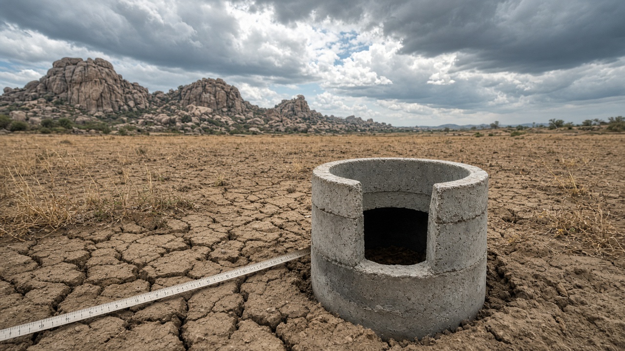
Andhra Pradesh's monsoon arithmetic changed sharply in the last week of September. The state's seasonal rainfall deficit, which stood at 43% before the September 23–24 depression, narrowed to 22% after the system crossed the coast and spread rain across the peninsula, according to India Meteorological Department figures reported in The Hindu's September 26 news wrap. For Rayalaseema — the four-district belt of Anantapur, Kurnool, Kadapa and Chittoor — the more consequential number is not the state average but the water level in observation wells.
The first post-depression readings from Rayalaseema's observation-well network point upward. The rise is welcome after a dry spell, but it is also a reminder that groundwater does not follow the same calendar as rainfall. A gauge can climb within days of heavy rain and still leave the aquifer far below its long-term baseline. The science is in the shape of the hydrograph, not in a single number.
What the rainfall totals show
IMD's seasonal tally is an aggregate. It counts rain across districts with very different soils, slopes and cropping patterns. The late-September depression delivered a large share of its moisture in a short window, which can lift a seasonal departure without restoring the full monsoon. Rayalaseema often runs below coastal Andhra Pradesh, and district-level departures can diverge from the state average. Some blocks may have received enough rain to recharge shallow wells; others may still be deficient.
Why a gauge rises in hard-rock country
Rayalaseema sits largely on hard-rock aquifers — granites, gneisses and schists with a thin weathered mantle and deeper fracture zones. Rainfall that infiltrates the weathered zone can raise the water table quickly. But the storage is limited. The aquifer behaves less like a sponge and more like a network of cracks. A heavy spell can fill those cracks and produce a sharp gauge response, then pumping, evaporation and lateral flow can pull the level down again. The rise is real, but its durability depends on how much water reaches the deeper fractures.
What a single reading cannot tell
A post-rain measurement is not the same as recharge. Recharge is the volume that reaches the aquifer and remains available. To estimate it, hydrologists need a before-and-after record, rainfall intensity, antecedent soil moisture and pumping data. They also need the well's construction details: depth, screened interval and surrounding land use. A rise in one observation well may reflect a local pond or a leaking canal rather than broad recharge. A dense network of wells gives a better picture, but even then, interpolation across a mandal carries uncertainty.
The limits of the good news
The drop from a 43% deficit to 22% is a state-level recovery, not a drought-ending event. Rayalaseema's aquifers have been stressed by decades of irrigation pumping, and deep water levels respond slowly. A late-September surge can refill shallow wells and farm ponds. It may not restore the fracture zones that supply larger borewells. The gauge rise is a signal to monitor through the post-monsoon season, when IMD and state agencies take their next round of measurements. If the levels hold after pumping resumes, the deluge will have done more than improve a rainfall table.
What would replicate at an Indian institute
A replicable study would pair IMD gridded rainfall with daily or weekly well hydrographs, local pumping logs and short aquifer tests. It would compare the 2026 post-monsoon reading with the decadal median for the same wells. Indian institutes with groundwater observatories could run that analysis without new instrumentation. The constraint is data resolution: many observation wells are still measured manually, and pumping records are rarely available at the same scale. That is the gap between a headline rainfall recovery and a defensible recharge estimate.
For now, the gauges in Rayalaseema are worth watching. They show the first aquifer response to the late-September deluge. Whether that response lasts is a question for the next measurement, not the last storm.