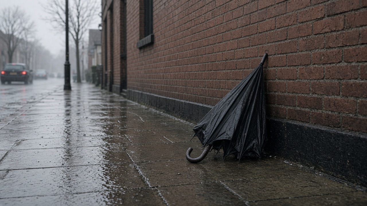
A Atlantic weather front pushed heavy rain east across the UK on Sunday, ending a warm dry spell in southeastern England where temperatures had reached the mid-20s Celsius before showers arrived late in the day, the Met Office said.
Timing and totals
Rain reached Northern Ireland and western Scotland early Sunday before spreading through northern England and Wales. Forecasters warned of 15–30 mm widely along the band, with isolated higher totals where thunderstorms embedded in the front. Eastern counties that began bright saw rain close out the weekend as the band moved offshore.
Wind and travel
Gusty winds accompanied the rain, especially in northwestern areas facing coastal gales overnight into Monday. Drivers on the M62 and A1 faced spray and reduced visibility; rail operators issued standard speed restrictions where leaves and water pooled on lines. Event organisers for outdoor Labour conference fringe sessions moved debates indoors.
Week ahead
Monday should turn drier with sunny spells before a deeper Atlantic low approaches Tuesday, bringing another spell of wet windy weather and unusually warm midweek temperatures for late September. Emergency planners flagged possible surface water flooding where summer dry soils had hardened in eastern England.
Why it matters
After a dry Saturday start, Sunday's rain resets soil moisture ahead of autumn planting and reduces wildfire risk on heathland. For households, the swing from warm sunshine to downpours is a reminder to check guttering before Tuesday's stronger system. The Met Office will update warnings as radar confirms where the heaviest cells stall.
Agriculture
Arable farmers in East Anglia welcome rain after dry weeks but need it slow enough to infiltrate. Harvest of late crops continues in drier pockets before the front arrived. Livestock farmers check field drains ahead of Tuesday's stronger low.
Urban drainage
London boroughs cleared gulleys after summer drought left compacted surfaces. Sudden heavy rain can overwhelm older combined sewers, triggering Thames Water overflow notifications. Residents should report street flooding via council portals rather than social media alone.
Rail operators Northern and TransPennine Express issued do-not-travel advice only for the most exposed upland routes; most intercity services ran with delays rather than cancellations as rain peaked Sunday afternoon.
Climate context
September's warm spell followed a wetter-than-average August in parts of Scotland; this front resets rivers that had run low for hydro operators. Energy traders watch reservoir levels even on weekends when demand is muted.
Campers on the Norfolk coast packed wet gear early as radar showed the front accelerating; the Met Office app pushed amber rain notifications to subscribed users Sunday afternoon.
Coastal flood gates in Suffolk closed proactively as tides combined with onshore wind Sunday evening.