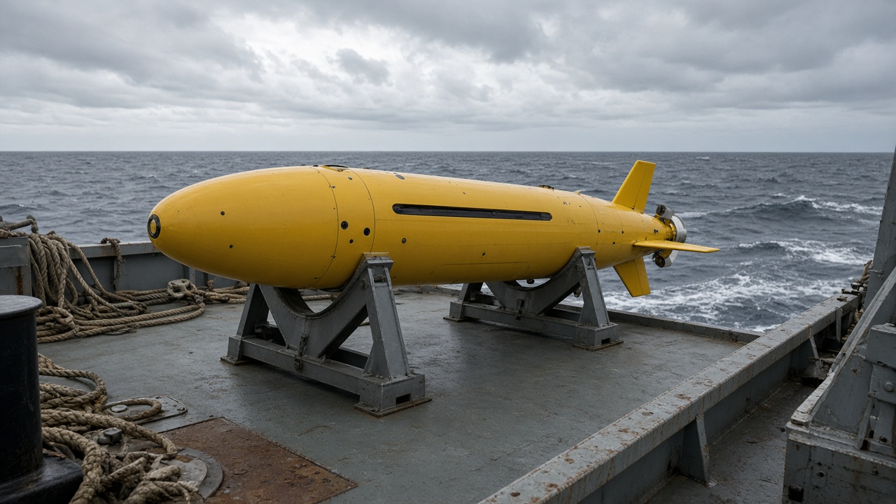
The National Institute of Ocean Technology deployed an autonomous underwater glider off Kochi on Monday to map post-monsoon upwelling along the Kerala shelf, sending temperature and salinity profiles to fisheries scientists tracking pelagic fish movements.
The glider will yo-yo between the surface and 500 metres for three weeks, surfacing every six hours to relay data through Iridium satellites. NIOT said the mission replaces a manned survey ship slot that was diverted to cyclone rescue standby in the Bay of Bengal.
Why upwelling matters now
When south-west monsoon winds weaken, cold nutrient-rich water rises near the coast, triggering plankton blooms that attract sardine and mackerel schools. Kerala’s coastal zone management plans use upwelling timing to advise ring-seine fleets on safe operating windows and to set voluntary no-fishing days.
Last year’s delayed upwelling confused models that predicted a bumper catch week that never materialized. Lakshmi Nair’s desk reported frustrated fishers in Alappuzha; this glider mission aims to reduce guesswork by delivering hourly thermocline plots rather than weekly ship snapshots.
Technology details
The Slocum-class glider carries conductivity-temperature-depth sensors and a chlorophyll fluorometer validated against shipboard samples in August. NIOT engineers disabled acoustic modems that might interfere with marine mammal monitoring buoys nearby, following Wildlife Institute of India consultation notes.
Data will feed an open portal after a 48-hour quality-control lag, a compromise between transparency and giving fishers near-real-time guidance through CMFRI’s WhatsApp advisory channel.
Limits and safety
Gliders cannot sample during severe swell; mission controllers will park the vehicle at depth if cyclone remnants enter the Arabian Sea. Shipping lanes near Kochi are dense, so the track stays inside a pre-notified research box to avoid container traffic.
If the deployment succeeds, NIOT plans a sister mission off Mangalore later this winter, extending the same upwelling atlas southward.
Fisheries economics
CMFRI economists will merge glider chlorophyll plots with auction price data from Kochi harbour to test whether early upwelling signals translate into lower retail sardine prices. Preliminary regressions from last year showed a three-day lag between thermocline shifts and catch volumes.
Insurance pilots for small boats may use the same data to price weather riders, though underwriters said they need two full monsoon cycles before offering discounts tied to NIOT feeds.
Port authorities cleared a narrow launch corridor away from cruise ship paths after a near-miss warning last year involving a research float. Harbour master notices will broadcast daily glider surfacing windows so fishing trawlers can steer clear during satellite uplinks.