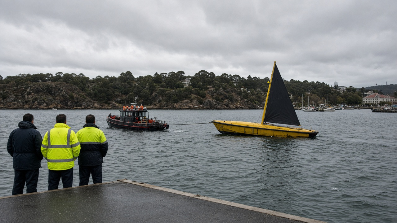
A Saildrone Explorer uncrewed surface vehicle left CSIRO’s Hobart marine facility on 20 September to begin a five-year circumnavigation of Antarctica, opening the Constraining Ocean Carbon with Optimized Observing mission that will station four wind-powered drones in the Southern Ocean.
Principal research scientist Elizabeth Shadwick said the project is the first multi-year campaign to deploy uncrewed surface vehicles specifically to sample carbon flux in seasons when research ships rarely venture south. The vehicle, designated SD-1092, will measure carbon dioxide exchange, temperature, salinity and wind fields in real time, beaming data to collaborators including NOAA, Columbia University and South Africa’s CSIR.
How the fleet will operate
Researchers plan quarterly launches from Hobart until four Saildrone Explorers rotate around the Southern Ocean. When a vessel completes a loop, technicians in Tasmania swap sensors and redeploy it on a new track, maintaining continuous coverage through winter gales that have limited ship-based observations.
The drones combine a rigid sail for propulsion with solar panels powering scientific payloads. Saildrone pilots in California monitor headings via satellite, nudging routes to avoid ice fields reported by Antarctic Division satellites. Each deployment is expected to last roughly 200 days before the USV returns to port.
Why the Southern Ocean matters
The Southern Ocean absorbs a disproportionate share of human-emitted CO₂, yet models disagree on whether that sink is strengthening or saturating. Winter data gaps have widened uncertainty in the Global Carbon Budget that feeds Intergovernmental Panel on Climate Change assessments. Shadwick said the USVs can operate in sea states that would keep crewed vessels in port, offering paired atmospheric and oceanic measurements at hourly resolution.
Schmidt Sciences funds the Virtual Institute for the Carbon Cycle component, while the Australian Antarctic Program Partnership provides logistics support. South African researchers will compare drone tracks with buoy arrays in the Atlantic sector.
Local impact
Hobart’s marine tech sector gains maintenance work and training placements as the fleet cycles through. CSIRO emphasised the mission is observational, not geoengineering: the drones do not deploy iron fertilisation or other intervention experiments. Data will be published through open repositories after quality control, with first public datasets expected once the inaugural leg passes New Zealand’s exclusive economic zone.