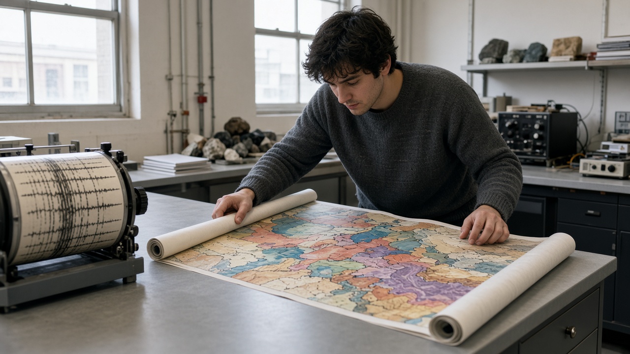
University of Tokyo geophysicists released a revised Philippine Sea plate coupling map Tuesday after September’s M4.9 earthquake swarm shook Ibaraki and Saitama prefectures, highlighting slow-slip segments that may transfer stress toward faults west of Tokyo. The paper does not predict a date for a larger event; it gives municipal planners updated inputs for school seismic retrofit prioritization before typhoon season strains emergency bandwidth.
What the map shows
Coupling describes how tightly plates lock versus creep. The team combined GPS time series from Kanto benchmarks, offshore pressure gauges, and aftershock relocations from the September 29 mainshock cluster. Compared with their 2024 model, coupling increased along a band offshore Chiba, implying greater stored strain where the 2011 Tohoku rupture did not fully relax adjacent segments.
Western Kanto faults—including those under the Tama district—show modest stress increase in simulations when slow-slip episodes off Ibaraki accelerate, matching the September tremor pattern JMA rated intensity 4 in multiple cities.
Policy relevance
Tokyo Metropolitan Government earthquake preparedness panels meet quarterly; members said they will request a briefing slide from Earthquake Research Institute authors before October school safety audits. Prefectures use coupling maps indirectly when ranking bridge inspections; updated colors may bump two Saitama river crossings into earlier maintenance windows.
Chiba LNG terminals and offshore wind projects asked whether coupling changes affect seismic design assumptions; authors answered that building codes already envelope modeled ground motion, but operators should refresh site-specific hazard studies if they assume 2022 baseline maps.
Public communication
JMA separates operational forecasting from academic coupling updates. Tuesday’s release includes plain-language graphics for municipal websites, avoiding alarmist reds while explaining why September’s swarm was felt widely despite moderate magnitude. NERV apps will not push alerts solely from this paper; citizens should still prepare kits for simultaneous typhoon and quake scenarios this week.
Science limits
Coupling models disagree on deep plate geometry; peer review continues at Earth, Planets and Space. Slow-slip events may relieve stress as often as they load neighbors—uncertainty the authors emphasize in appendix sensitivity charts. Funding from MEXT disaster science grants requires open data; GPS traces download under Creative Commons with station IDs municipalities can match to local monuments.
Practical takeaway
Households should verify furniture straps and backup water after any felt swarm, even when magnitudes stay below 5. Builders planning high-rises in western Tokyo should note the paper’s call for updated geotechnical borings where 1990s surveys assumed lower coupling. The map is a planning tool, not a countdown clock—but in a week when Severe Tropical Storm Surigae approaches Kanto waters, dual-hazard readiness is the actionable message local officials are amplifying.