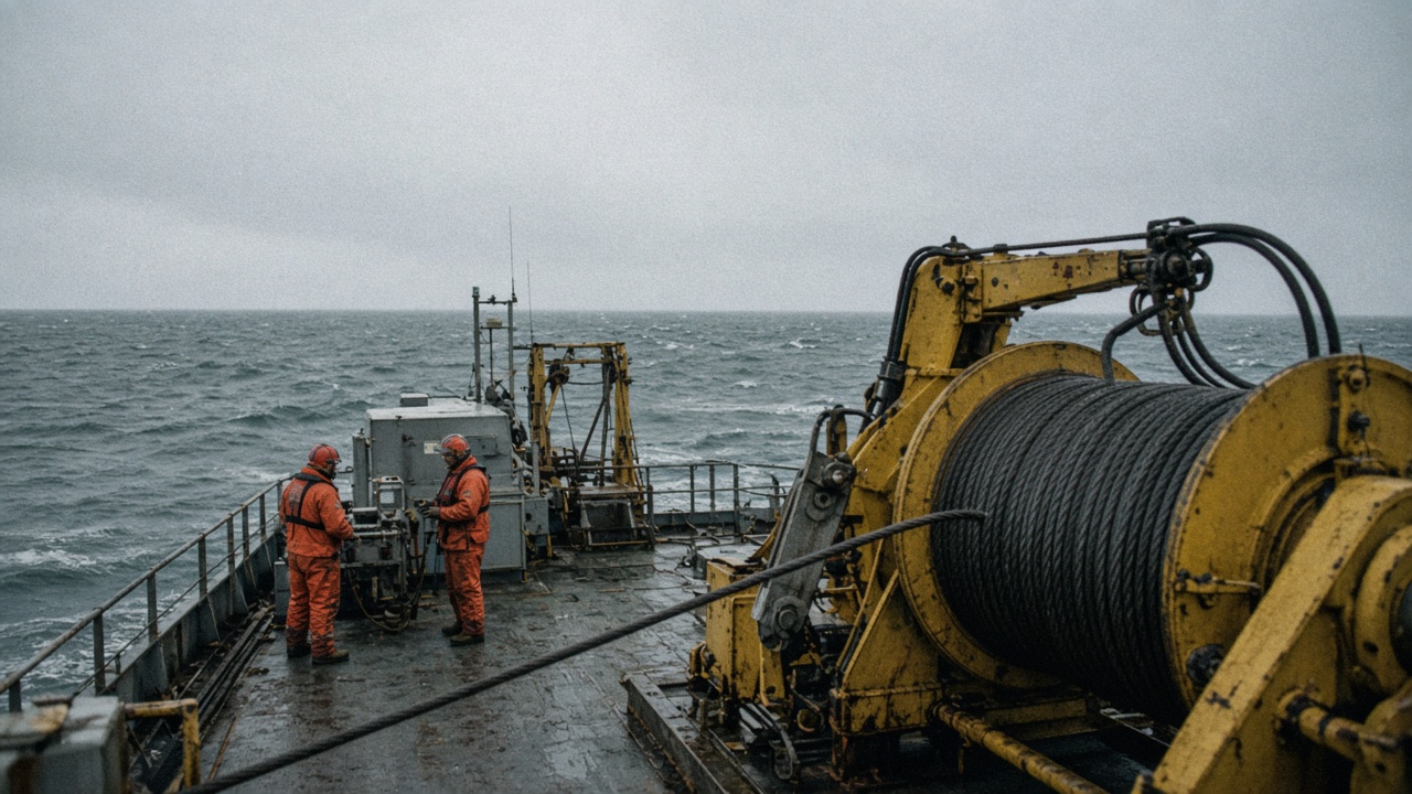
The Japan Agency for Marine-Earth Science and Technology deployed a string of seabed strain sensors off Fukushima Prefecture this week, anchoring instruments near the Japan Trench to monitor post-tremor stress after summer quakes shook offshore telecom routes.
Why this patch of ocean
August and September magnitude-5-class quakes east of Fukushima triggered precautionary checks on subsea fiber linking Honshu to trans-Pacific hubs. JAMSTEC's cruise aboard a research vessel stationed out of Yokosuka laid the first six-node segment where slow-slip events were modeled after the 2011 Tohoku rupture zone showed renewed coupling in recent geodetic inversions. Sensors record tilt, pore pressure, and temperature on hourly bursts transmitted acoustically to a surface buoy.
Scientists want to know whether smaller summer shocks relieved stress or loaded adjacent patches capable of generating tsunami if they fail together. Telecom operators supplied route maps under confidentiality but participated in public outreach once instruments were live.
Instrument details
Each node sits in a titanium frame bolted to bedrock where piston coring confirmed stable attachment. Batteries and data loggers should run three years before a recovery cruise swaps modules. JAMSTEC paired the strain string with existing ocean-bottom seismometers deployed in 2024, improving triangulation without duplicating Japan Coast Guard tsunami buoys farther offshore.
Data will flow to JAMSTEC's Yokohama institute and the Japan Meteorological Agency under a memorandum updated in September. Real-time public feeds are limited to aggregated strain anomalies rather than raw waveforms, avoiding false alarms on social media.
Local fishing coordination
Fukushima prefectural fisheries unions received tow-path maps before deployment to keep trawl gear away from marker floats. Autumn squid season opens near the array; captains got coordinates through coastal radio bulletins. JAMSTEC pays standard compensation for temporary exclusion zones during anchor drops, a line item in the science ministry's disaster-resilience budget.
What researchers expect
Lead investigators cautioned that three years of data minimum is needed before strain trends inform revised tsunami scenarios for prefectural evacuation maps. Still, early coupling with onshore GNSS sites may shorten aftershock forecasts when clusters appear. If the array survives winter storms, phase two adds three nodes closer to the trench slope next spring.
For residents, the cruise is a reminder that offshore cables and seismic risk move together—restoring telecom resilience and measuring fault stress are parallel chores on the same seafloor.
Winter maintenance
JAMSTEC crews will return in February to swap battery modules if acoustic links show corrosion, keeping the array online through two typhoon seasons without a full recovery cruise.