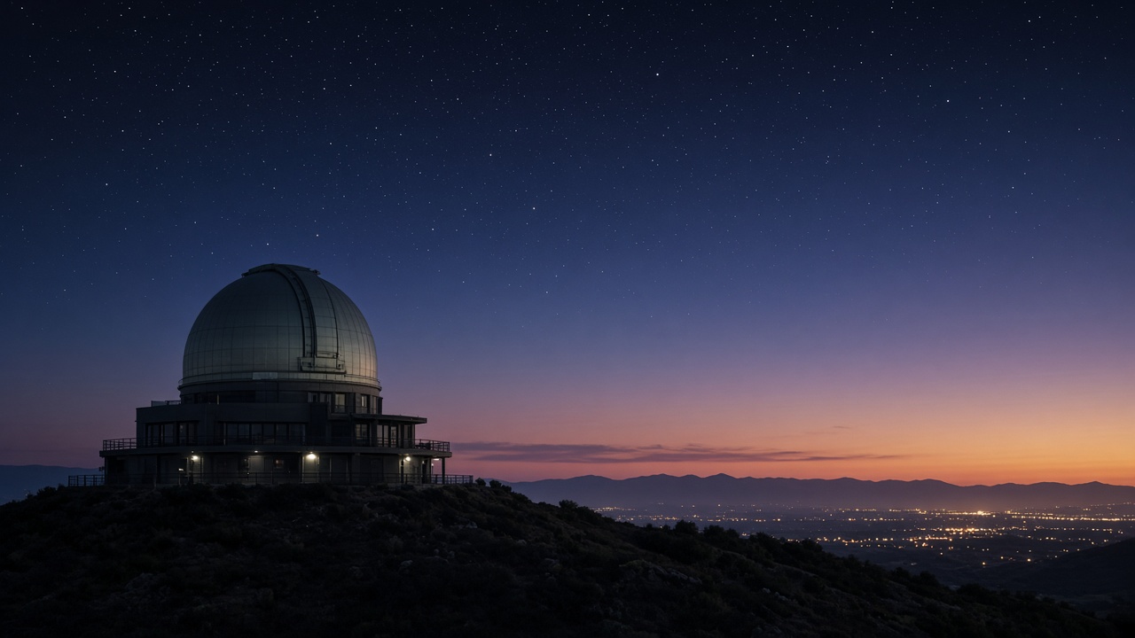
Astronomers at the Royal Observatory Edinburgh released an interactive map of Britain’s darkest publicly accessible stargazing sites on Wednesday, pairing the tool with CPRE’s annual night-sky brightness survey that shows suburban LED upgrades continue to widen skyglow belts around major cities.
The map ranks council areas by median night brightness measured from citizen-science uploads and satellite passes. Galloway Forest and parts of Northumberland still top the list, while the M25 corridor and West Midlands conurbation show the fastest deterioration since councils swapped sodium lamps for broad-spectrum LEDs.
Why LEDs changed the picture
LEDs cut energy bills for local authorities, but poorly shielded fixtures scatter more blue light upward. Leila Hassan’s science desk notes that the human eye perceives those skies as clearer even when measured luminance rises, which complicates public acceptance of dimming programmes.
Policy options
Scottish government planners are piloting curfews on ornamental floodlighting near two national parks, while English councils debate motion sensors on car-park luminaires. The Royal Observatory team urged developers to submit night-time renderings in planning applications, a step already mandatory for some Welsh wind-farm projects.
Amateur astronomers benefit from the new map when planning trips, but researchers warn that even remote sites face growing satellite streaks from low-Earth-orbit constellations — a separate problem the UK Space Agency is tracking in licensing talks.
Public science payoff
Dark-sky tourism generates modest rural income, but the primary gain is ecological: migrating birds and insect populations depend on natural light cycles. The joint report calls for a national database of fixture types so engineers can target retrofits that aim light downward without sacrificing pedestrian safety.
Education tie-ins
Schools in Cornwall and Cumbria are pairing the new map with GCSE astronomy modules funded through the Ogden Trust. Teachers said pupils can now plan field trips to sites within coach distance rather than relying on textbook photos from the Atacama Desert.
Local councils in Greater Manchester are testing dimmable street segments after 11 p.m. near residential terraces, responding to petitions that cited sleep disruption and lost stargazing for children.
Measurement limits
Satellite passes cannot resolve garden security lamps, so the Royal Observatory team blended phone-sensor readings from thousands of volunteers. They cautioned that weather clouds skewed some September uploads along the Firth of Forth.
Future updates will incorporate Met Office night-cloud models, linking weather forecasting with public stargazing guidance after storms.