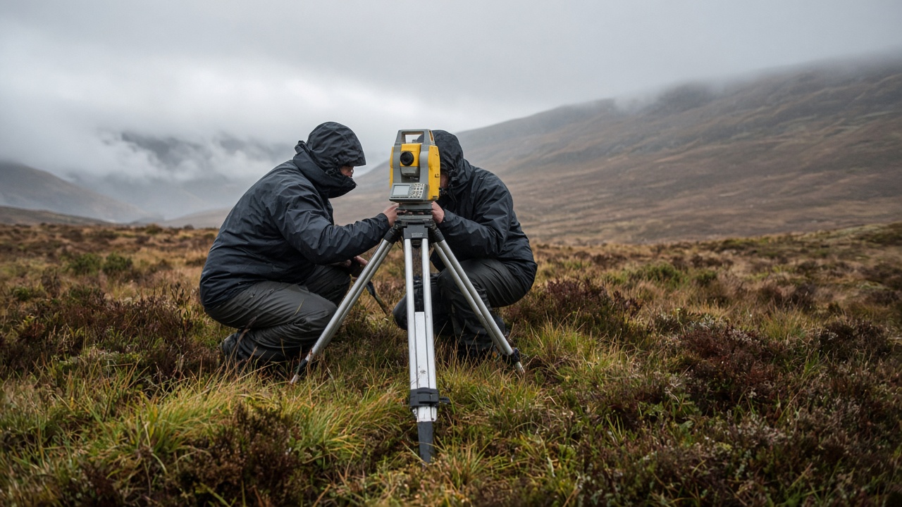
Engineers from the Royal Observatory Edinburgh completed a week-long field trial on Pentland Moor on Friday, calibrating a portable gravimeter array that will fly on a 2027 UK Space Agency-supported mission to map subtle subsurface mass changes.
The instruments measure gravitational acceleration to parts per billion, enough to detect groundwater movement, magma inflation or emptying caverns used for energy storage. Friday's demo paired three cryogenically cooled sensors with a drone-agnostic ground station that corrects for tidal pull and local topography.
Why Scotland's moorland
Pentland's mix of granite bedrock and peat bogs gives a natural gradient for testing drift. Teams buried known masses and compared readings against satellite altimetry, publishing preliminary residuals on an open data portal. The goal is to shrink instrument size from room-scale labs to parcels that fit in a Land Rover, opening commercial uses in mining safety and geothermal exploration.
UK Research and Innovation's STFC arm funded the prototype through a £4.2 million grant announced in spring. Industrial partners include a Edinburgh-based quantum sensing startup supplying laser stabilisation kits derived from atomic clock research.
From lab to orbit
The 2027 launch slot rides as a secondary payload on a European rideshare mission, not as a flagship telescope. Scientists said gravity maps complement radar interferometry for landslide risk in Highland communities. If orbit demonstration succeeds, a constellation of three units could monitor aquifers stressed by drought.
Climate researchers watching peat carbon stocks welcomed any tool that detects subsidence without drilling. The moor trial ends with instruments shipped to Harwell for vibration testing mimicking rocket ascent. Results expected in December will determine whether the array earns a flight model build.
Commercial interest
Water utilities attending Friday's site visit said gravity anomalies could spot pipe leaks under peat without excavating access roads. Defence scientists were more circumspect, citing classification rules around submarine monitoring, but acknowledged dual-use math is similar. The observatory team invited Edinburgh University geophysics students to process raw traces as coursework, a pipeline meant to grow hiring ahead of the launch campaign.
Weather on the moor slowed one overnight run when wind shook the tripod; engineers logged the event as a calibration case for autonomous stabilisers planned on the flight model.