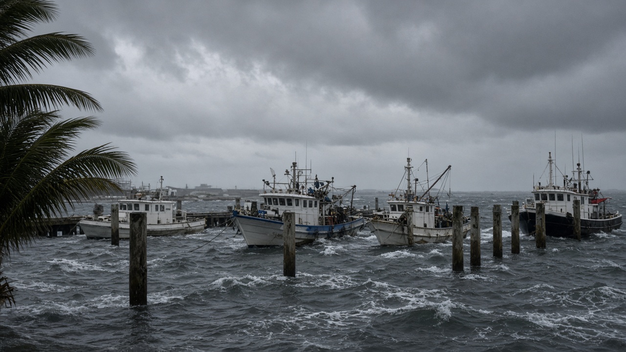
Typhoon No. 27 was crawling west of the Mariana Islands on Friday but is forecast to intensify rapidly and turn north toward the Ogasawara islands, putting one of Japan’s most remote communities on alert for violent seas, possible gales and days of disrupted ferry service.
The Japan Meteorological Agency’s short-range briefing said the system would strengthen while moving from the Marianas toward waters near Ogasawara through the weekend. Private forecasters, including the Japan Weather Association, projected central pressure could fall to about 925 hectopascals by Monday, with maximum sustained winds near 50 meters per second — a very strong typhoon on Japan’s scale.
Why Ogasawara faces the first hit
The Ogasawara archipelago sits roughly 1,000 kilometers south of Tokyo and depends on monthly supply ships and limited air links. There is no quick evacuation route comparable to mainland ports. When a powerful typhoon approaches from the south, swell arrives long before the eye, pounding harbors on Chichijima and Hahajima and complicating mooring for fishing boats that double as emergency transport.
JMA’s marine guidance warned that high waves with heavy swell would build around the islands from Saturday, with potential for storm-grade winds if the center passes closer than current median tracks suggest. Municipal officials on Chichijima told public broadcasters they were securing public buildings and reviewing shelter capacity, mindful that October visitors are still on the islands for diving season.
Track uncertainty for the mainland
Most model ensembles keep the typhoon east of the main Japanese islands, recurving into the Pacific by midweek. That would spare Tokyo a direct hit but could still bring strong winds to the Izu chain and rough seas along the Pacific coast if the storm rides the western edge of its forecast cone.
Meteorologists highlighted a frontal boundary expected to linger near Honshu from Sunday through Tuesday. Moisture streaming ahead of the typhoon could interact with that front, increasing rainfall on the Pacific side even when the cyclone’s core stays offshore. Commuters in Shizuoka and Kanagawa prefectures were urged to monitor updates rather than rely on early-week sunshine.
Comparison with earlier October storms
This is the twenty-seventh named storm of the western Pacific season, arriving late in the calendar but at a moment when sea-surface temperatures remain elevated after a warm summer. Earlier typhoons this year grazed Taiwan and the Ryukyus; Japan’s mainland has seen more flood alerts from frontal rain than direct landfalls. A powerful pass near Ogasawara would nonetheless stress disaster budgets for the Tokyo Metropolitan Government, which administers the islands.
What residents should watch
JMA will issue conventional typhoon, gale and high-wave advisories as the forecast cone narrows. Ferry operators serving Ogasawara typically suspend sailings 48 hours before predicted storm-force winds. Airlines that run limited charter services follow similar rules. On the mainland, prefectures were reminding coastal campgrounds to clear low-lying sites and secure construction netting ahead of the long weekend.
Officials repeated that the most likely scenario keeps the worst winds east of Honshu, but the margin is thin: a westward jog of even 100 kilometers could bring gales to the Kanto region by Wednesday. Residents were told to refresh emergency kits, charge backup batteries and avoid ocean activities through at least the middle of next week, when the typhoon is expected to accelerate away from Japan.