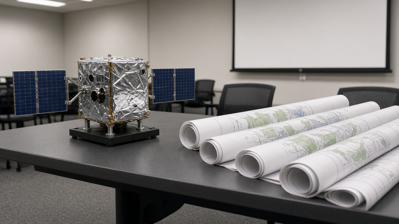
The Japan Aerospace Exploration Agency scheduled an October 21 workshop in Tokyo on large-scale forest monitoring, bringing together space-borne LiDAR researchers ahead of its MOLI mission’s next development milestones.
The hybrid meeting at STATION CONFERENCE Marunouchi will run from 10:00 to 16:30 with simultaneous interpretation under discussion. JAXA’s MOLI team and Japan’s Forestry and Forest Products Research Institute are co-hosting sessions on integrating satellite, aircraft, drone, and ground laser data for carbon and biodiversity accounting.
Why forests are a space policy issue
Climate commitments and timber supply chains both need credible canopy measurements. Japan’s mountainous terrain makes airborne surveys expensive; a dedicated vegetation LiDAR satellite promises repeatable global snapshots that ground crews can validate locally.
International partners including the U.S. Forest Service are listed on the preliminary agenda, reflecting JAXA’s effort to align MOLI products with NASA and European missions already feeding IPCC inventories.
Busy October for JAXA science
The workshop sits between this weekend’s domestic science news cycle and a separate balloon symposium at JAXA’s Institute of Space and Astronautical Science in Sagamihara on October 22–23, where teams will pitch 2027 stratospheric experiments. None of these events launch hardware immediately, but they signal which Earth-observation programs will compete for budget in the fiscal year starting April.
Registration and outputs
Attendance is free with advance registration via Microsoft Forms, according to the agency’s public notice. Slide decks will likely inform the Council for Science, Technology and Innovation’s winter priorities, especially where forest data underpins disaster-risk maps for typhoon-heavy regions.