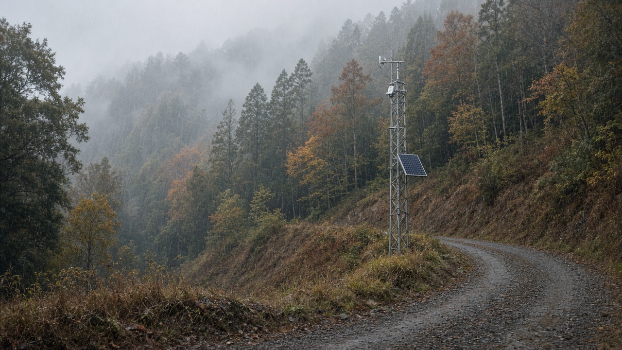
Niigata University engineers began field-testing a distributed landslide early-warning array this week after September’s heavy rains saturated slopes along the Shinano and Agano river valleys, reviving memories of deadly debris flows that hit nearby communities during past typhoons.
Sensor layout
The pilot strings together borehole strain meters, surface tilt sensors, and tipping-bucket rain gauges on hillsides above residential zones. Data travel over low-power radio links to a campus lab where geophysicists model pore-pressure changes in real time.
Unlike prefecture-wide meteorological alerts, the array aims to flag block-scale movement hours before visible cracks appear on roads. Municipal officials can then narrow evacuation orders instead of shutting entire valleys.
September saturation
Japan Meteorological Agency statistics show Niigata prefecture recorded rainfall well above the 1991–2020 average during the second half of September. Farmers delayed rice harvests while road crews cleared fallen trees from mountain passes.
Link to national programs
The project complements national slope-disaster maps maintained by the land ministry, but local geology varies sharply even within Niigata. University teams say community volunteers help maintain solar panels on remote masts, cutting costs compared with fully centralized networks.
If the pilot succeeds, data may feed prefectural emergency apps already used for river flooding. Scientists caution that no sensor grid replaces household go-bags; early warnings only work when residents know which shelter maps correspond to their neighborhood.
Next steps
Researchers will publish open summaries after the autumn rainy season ends, sharing calibration curves with JAXA planners who use satellite radar to monitor ground deformation. Funding currently comes from academic grants; long-term operations will require prefectural budget lines competing with snow-removal equipment.