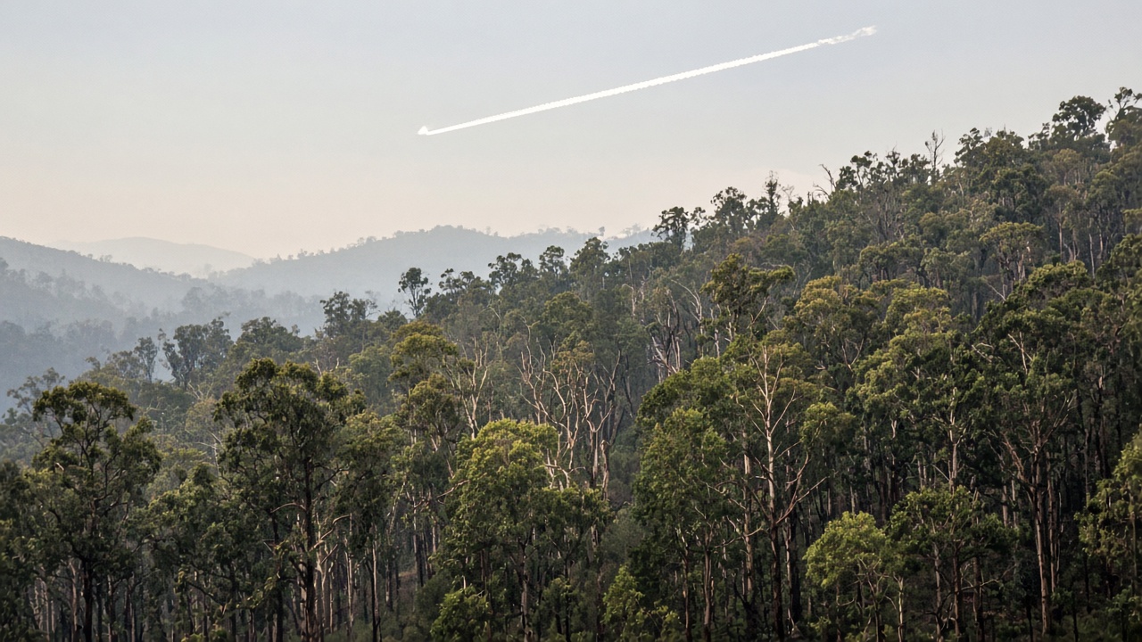
CSIRO released National Bushfire Intelligence Capability Terrain 2.0 this month, blending LiDAR and satellite elevation into a national digital elevation model that cuts height errors in forested slopes where canopy once fooled fire-spread algorithms. Emergency agencies and building engineers said the upgrade sharpens planning for hospitals, schools and aged-care sites facing tougher National Construction Code bushfire rules.
What the dataset fixes
Previous coarse terrain models misread steep gullies under tree cover, understating flame length in some valleys and overstating exposure on ridges. NBIC teams integrated 1,550 open-access LiDAR tiles through the ELVIS elevation platform, aligning output to 90-metre fuel grids used nationally. Samira Haddad, science correspondent for InfoHandle, said the improvement is most visible in the Great Dividing Range corridors where Black Summer fires surprised modellers.
Who uses it
State fire agencies feed terrain into fire-behaviour simulators for preparedness drills. Insurers reviewing property risk can compare baseline terrain against future climate scenarios NBIC publishes alongside fireline-intensity maps. Engineers designing bushfire shelters for vulnerable facilities referenced CSIRO seminars in Queensland this month tying terrain data to code compliance.
Funding and governance
Stage 3 NBIC work is funded through the National Emergency Management Agency with input from all state fire authorities. Governance councils let jurisdictions prioritise research without duplicating Geoscience Australia efforts. Terrain 2.0 can be refreshed as new LiDAR flights complete, unlike static products that aged within seasons.
Climate scenarios still matter
Better ground shape does not lower temperature or wind risk; NBIC’s eighteen future climate pathways still show rising extreme fire weather under high-emissions scenarios. Terrain accuracy simply ensures fuel and slope inputs are not wrong before climate signals apply.
Practical takeaway
Councils updating municipal hazard overlays should migrate to Terrain 2.0 before next summer’s planning windows. Homeowners cannot download the full technical grid easily, but planners’ maps downstream will shift modestly—enough to change shelter-in-place decisions for some schools.
Research link
A Nature paper published 7 October on colonial land-use change and modern fire vulnerability adds academic context but does not replace operational datasets; NBIC products remain the authoritative national inputs for government planning portals.
Data access
Researchers can cite the CSIRO data collection DOI for Terrain 2.0 in peer-reviewed work, aiding reproducibility when jurisdictions compare evacuation models. Fire behaviour analysts said integration testing with fuel classification version KO2.1 is complete on internal servers, with public map layers rolling out through state emergency apps over coming weeks.
Building sector
Engineers Australia seminars in September connected terrain slope to flame-length projections for hospitals; attendees received worked examples showing how a two-metre height error could misclassify a ward wing. Developers in Blue Mountains LGAs are already receiving revised bushfire attack level advice based on preliminary Terrain 2.0 runs.