Forecasters at the India Meteorological Department tracked a cyclonic circulation over the Andaman Sea on Saturday, 10 October 2026, that could consolidate into a low-pressure area by 13 October and drag the first organised northeast monsoon rains toward the Tamil Nadu and Andhra Pradesh coasts. Lakshmi Nair’s science desk read the twin bulletins issued on 8 and 9 October alongside seasonal outlooks that place onset between 15 and 21 October.
Systems on the map
IMD’s 8 October extended range outlook said conditions should become favourable for southwest monsoon withdrawal from the entire country at the start of the week beginning 15 October, coinciding with northeast monsoon onset over south peninsular India. The 9 October daily release located the withdrawal line through Hyderabad and Belagavi, with scattered heavy rain already falling over Kerala, Tamil Nadu and south interior Karnataka.
Model guidance cited in business press suggests easterlies could strengthen over the Gulf of Thailand by 14 October, helping steer moisture westward across the Bay of Bengal.
If the low forms
A compact October depression would bring short-fuse flooding to Chennai’s suburban lakes and Nellore’s paddy belts even if seasonal totals remain “normal.” IMD warned isolated heavy rainfall over Andaman and Nicobar Islands on 13–14 October regardless of intensification.
Climate context
The Northeast Monsoon Forecast Outlook Forum in Chennai earlier this month projected normal rainfall for Tamil Nadu and Kerala with spatial variation. El Niño influence is expected to fade after December, according to director general remarks reported in regional press.
Urban planners in Bengaluru, still draining southwest monsoon runoff, face stacked risks if a Bay system meets saturated soil.
Public guidance
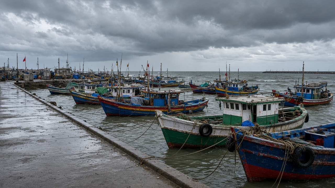
District collectors along the Coromandel Coast were asked to clear storm drains before 12 October. Fishing boards may restrict small craft departures if gusts exceed advisory thresholds. The desk will update if the circulation attains a depression identifier in IMD’s cyclone nomenclature.
Agricultural stakes
Delta farmers in Tamil Nadu plan nursery sowing for samba paddy once the first monsoon burst arrives; delayed onset would compress the growing window. Coffee planters in Kodagu watch wind profiles because early systems can strip blossoms.
Disaster management teams in Puducherry rehearsed saltwater intrusion scenarios if storm surges coincide with high astronomical tides mid-month.
Comparison with 2025
Last year’s onset arrived toward the late end of the normal window, followed by a dry November spell. IMD’s probabilistic tercile maps show below-normal October rain for much of the peninsula outside south Tamil Nadu, so this circulation may deliver localized relief rather than uniform soaking.